What is recorded here
Located on a slight S-facing slope and immediately in the area to the N and E of the motte (ME041-014----). A roadway (Wth c. 5-15m; L c. 180m) defined by earthen banks extends NNE from the vicinity of the site of the medieval parish church of Castlerickard (ME041-015----) and the motte, and then turns NE (L c. 180m). It is visible on aerial photographs (GSIAP: N 304, 302) and is also visible on Google Earth (18/04/2009; 17/07/2016; 24/03/2017), OSAP (2005; 2017) and Digital Globe.
Compiled by: Michael Moore
Date of upload: 9 August 2019
The monument record does not grant public access. Check the route and ask the landowner before entering private land.
- What survives
- Recorded monument
Places near here
 CastleCastle, motte · 219 yd
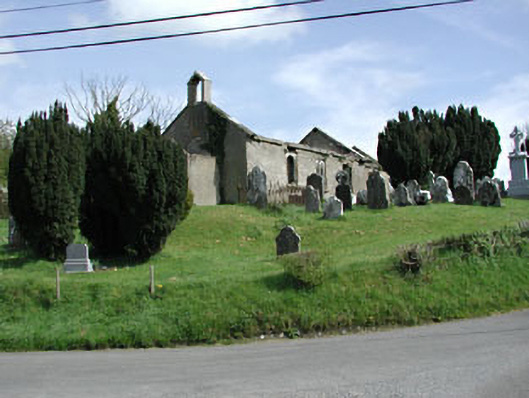 Saint Nicholas's Church (Castlerickard)church/chapel · 260 yd
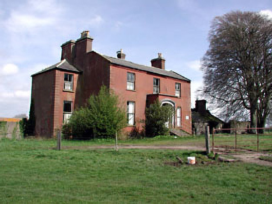 Castlerickard Housecountry house · 489 yd
 EnclosureEnclosure, large enclosure · 861 yd
 Common LimeCommon Lime · 908 yd
 European BeechEuropean Beech · 1066 yd
 Donore CastleCastle · 1.1 mi
 Concentric enclosure in DalystownConcentric enclosure · 1.2 mi
 Croppies' GraveMemorial · 4.8 mi
 Cloncurry GraveyardHeritage attraction · 7.1 mi
 Old Bog Road made famous by Teresa Bryton 1868-1943Memorial · 7.8 mi
 Kilgar GardensHeritage attraction · 9.5 mi