
What is recorded here
According to Ball (1906, 219) an ancient roadway ran from Ballymount to the Belgard road near a crossroads known as the Shoulder of Mutton. The precise location of this roadway is unknown.
Compiled by Geraldine Stout
The monument record does not grant public access. Check the route and ask the landowner before entering private land.
- What survives
- Recorded monument
Places near here
 KilnKiln, lime · 46 yd
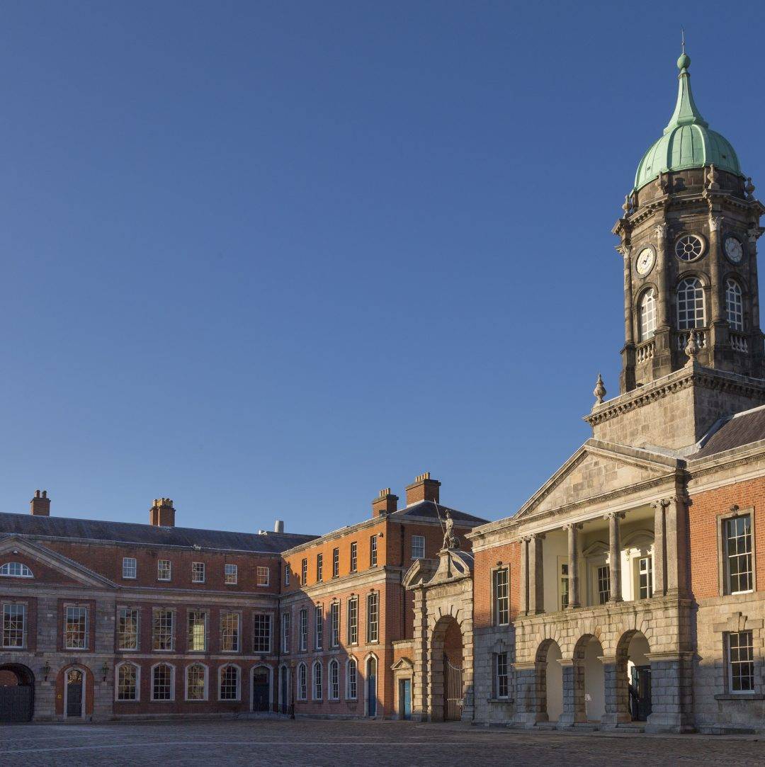 Ballymount castleRuins · 55 yd
 Castle (site of)House, fortified house · 71 yd
 Ceremonial enclosure in Ballymount GreatCeremonial enclosure · 77 yd
 Norman TowerRuins · 151 yd
 Holy well in KilnamanaghHoly well · 1488 yd
 Belgard RoadMemorial · 1540 yd
 Fitwalk CircuitWalking route · 1.2 mi
 Mayor's Mile (Finsish)Visitor information · 1.3 mi
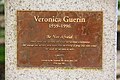 Veronica Guerin memorialMemorial · 1.4 mi
 Tymon Park Yellow SlíWalking route · 1.4 mi
 Clondalkin Round TowerHeritage attraction · 1.4 mi
Other information
Photo: Credit not shown in the picture search · Rights wording not checked; contact us if this picture should be removed