What is recorded here
An old roadway which can be traced at a number of points over a distance of a little in excess of one mile. The road was originally paved with stone but is now completely overgrown. It is 2.5m to 3m in width. It is located in an area of fairly poor pasture. Some sections of this roadway are shown on the 3rd edition of the OS 6-inch map and other short sections can be traced.
Four trenches were opened on the site of a small food-smoking facility (NGR 19896/39699) in the townland of Falgarrow by Mary Henry of Mary Henry Archaeological Services Ltd under licence No. 07E0535. The site is located just to the south of an archaeological monument classified as a road. Both the monument and the development site are set within a coniferous forest. Nothing of archaeological provenance was discovered in any of the test-trenches (Bennett 2010, 78).
The above description was derived from the 'Archaeological Survey of County Donegal. A description of the field antiquities of the County from the Mesolithic Period to the 17th century.' Compiled by: Brian Lacey with Eamon Cody, Claire Cotter, Judy Cuppage, Noel Dunne, Vincent Hurley, Celie O'Rahilly, Paul Walsh and Seán Ó Nualláin (Lifford: Donegal County Council, 1983). In certain instances the entries have been revised and updated.
Compiled by Caimin O'Brien
Date of upload/revision: 18 November 2011
The monument record does not grant public access. Check the route and ask the landowner before entering private land.
- What survives
- Recorded monument
Places near here
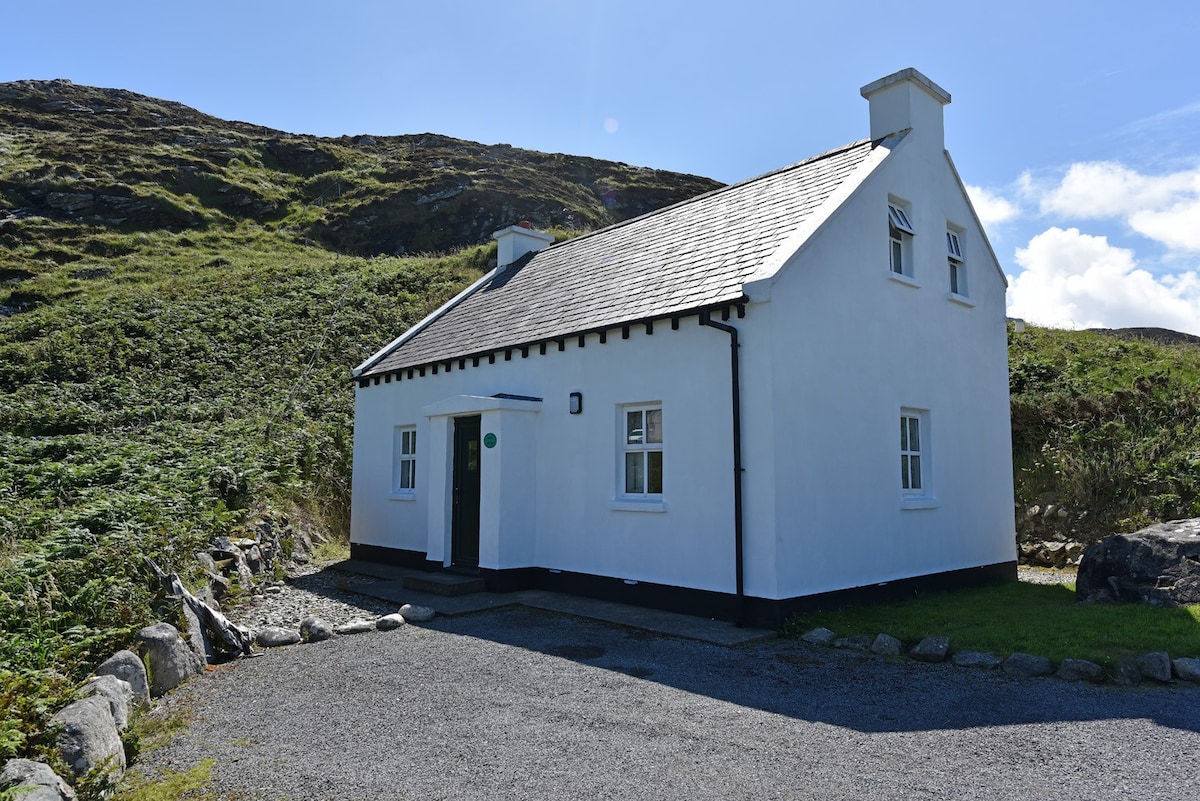 Enclosure in Ailt An TsneachtaEnclosure · 241 yd
 kilnkiln · 1018 yd
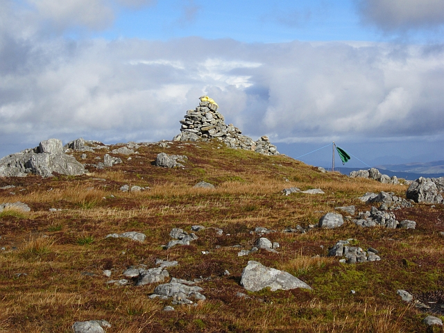 Gaugin MountainMountain / peak · 1.4 mi
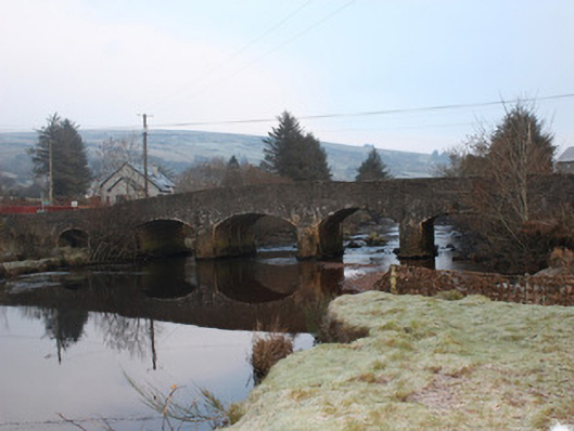 Reelan Bridgebridge · 1.9 mi
 Holy WellHoly well · 2.3 mi
 AltnapasteMountain / peak · 3.3 mi
 Meenachullion Nature ReserveNational nature reserve · 7.1 mi
 Ard na Mona WoodOfficial walking route · 8.0 mi
 Dermot & Grania's BedCave · 8.7 mi
 Disert GraveyardGraveyard · 9.2 mi
 Old CastleCastle, tower house · 9.3 mi
 Drumboe WoodForest recreation place · 9.4 mi