What is recorded here
Recorded on Netterville's 1752 map of Michael Aylmer's estate (NLI Map 21 f. 50(4)) and suggested as the possible location of the medieval borough of Cloncurry (KD004-021001-) by Bradley et al. (1986 vol. 2, 155-67). In level pasture. Visible as a broad sunken trackway (Wth. 7- 8m; D 1.5m) running approximately NE - SW (traceable L c. 600m) before forking at its SW end; one section running NW (L c. 80m) and the other SW (L c. 80m).
Compiled by: Gearóid Conroy
Date of upload: 10 June 2011
The monument record does not grant public access. Check the route and ask the landowner before entering private land.
- What survives
- Recorded monument
Places near here
 Enclosure in Cloncurry (ikeathy & Oughterany By., Cloncurry Ed)Enclosure · 80 yd
 Enclosure in Ballynakill (cloncurry Ed)Enclosure · 245 yd
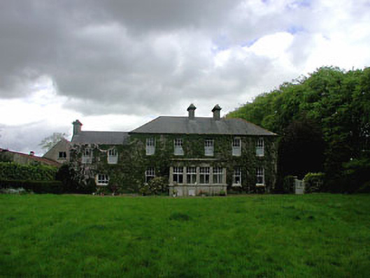 Ballyvoneen Househouse · 307 yd
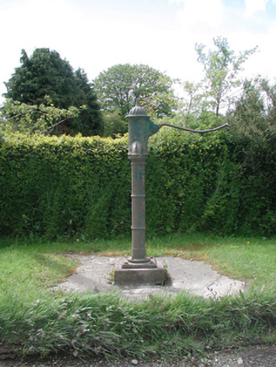 water pumpwater pump · 453 yd
 Cloncurry GraveyardHeritage attraction · 797 yd
 European ashEuropean ash · 892 yd
 Cloncurry MoatCastle, motte · 895 yd
 Old Bog Road made famous by Teresa Bryton 1868-1943Memorial · 1.1 mi
 Site of Dunfierth CastleCastle, unclassified · 2.5 mi
 Kilgar GardensHeritage attraction · 3.5 mi
 Wych ElmWych Elm · 4.4 mi
 Mass was there in Penal TimesMemorial · 4.8 mi