What is recorded here
In poor pasture running into raised bog on the floodplain of the River Suck which is c. 500m to 2km to the W. At the NE end a raised track of earth and stone (Wth 3m; H 0.2-0.5m) with some larger stones on the edges is aligned NE-SW (L c. 160m) and is known locally as the nuns' path. It extends SW into a raised bog where it can be seen as a gravel layer (Wth 1.5m; T 0.3m) in the sections of drains, 0.5m below the surface. It can be traced for a further 200m, but a vegetation change of denser heather growth mixed with rushes could extend it c. 1km to where a horizontal beam (L 0.9m; T 0.1m) overlying a gravel layer (T 0.3m) 0.5m from the top of a drain can be seen.
Compiled by: Michael Moore
Date of upload: 24 August 2010
The monument record does not grant public access. Check the route and ask the landowner before entering private land.
- What survives
- Recorded monument
Places near here
 Enclosure in Feevagh MoreEnclosure · 1495 yd
 Country house in DalysgroveCountry house · 1.0 mi
 Daly's Groveoutbuilding · 1.0 mi
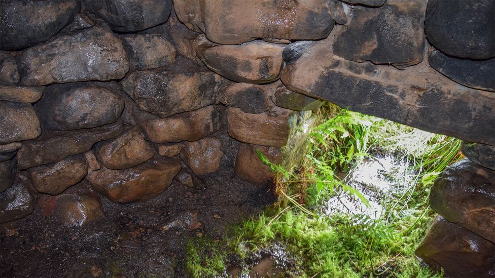 Sweathouse in ArdcolmanSweathouse · 1.9 mi
 Killeglan CastleCastle, unclassified · 2.5 mi
 LismoneyForest · 2.6 mi
 Cloonbigny CastleCastle, tower house · 2.6 mi
 Clooncoran IslandIsland · 2.8 mi
 Inch IslandIsland · 2.9 mi
 Sheep HillMountain / peak · 3.4 mi
 European ashEuropean ash · 4.9 mi
 Urraghry HillMountain / peak · 8.3 mi