What is recorded here
One of three toghers (see also KD012-002001- and KD012-004001-) converging on Derrybrennan townland, a small 'island' of high ground in the expanse of bog to the N of Lullymore, which were investigated by Rynne (1964-5, 35, 38-40) on behalf of the NMI after their discovery was reported by Bord na Móna. It ran between higher ground in Ballybrack townland to the N and Derrybrennan townland to the S (est. L c. 1400m), and was known locally as 'The Dane's Road'. Rynne could only examine a short portion of the roadway and found that it was constructed of gravel and marl (Wth 3m; T 0.2-0.25m) laid down at depth of 0.5m below the surface of the uncut but shrunken bog surface. On the surface of the bog the line of the buried road was indicated running NE-SW by 'the more luxuriant growth of heath above it'.
Compiled by: Gearóid Conroy
Date of upload: 10 June 2011
The monument record does not grant public access. Check the route and ask the landowner before entering private land.
- What survives
- Recorded monument
Places near here
 Killina BogWood · 1344 yd
 Ticknevin Bridgebridge · 1.4 mi
 Cross (present location) in Lullymore WestCross (present location) · 1.5 mi
 Horse-chestnutHorse-chestnut · 1.6 mi
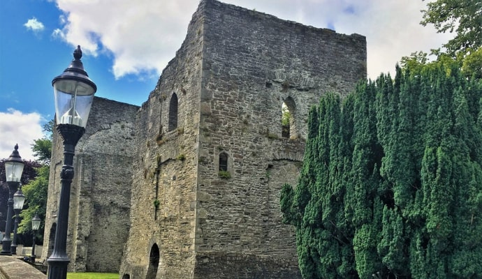 Lullymore MonasteryArchaeological place · 1.7 mi
 Church in Lullymore EastChurch · 1.7 mi
 Lullymore Heritage ParkHeritage attraction · 2.1 mi
 The Fairy BowerHeritage attraction · 2.1 mi
 CastleCastle, unclassified · 3.1 mi
 Bawn in ClonkeenBawn · 3.8 mi
 Grand Canal WayVisitor information · 5.6 mi
 Bithia Mary CrokerMemorial · 5.9 mi