What is recorded here
The site (L 93.39m min.; Wth 0.22m; D 0.13m) is orientated NW-SE The site consists of closely set longitudinal roundwoods (diam. 0.08-0.093m) and heavy brushwood. It was identified in opposing drain faces at three sightings, 0.52-0.92m below the field surfaces. These elements are one piece deep and two/three elements wide, forming a narrow walking surface. The wood is in good condition and there is evidence for branch-trimming. It sits in moderately humified Sphagnum peat containing Eriophorum and ericaceous remains. The site may be related to SMR OF018-111---- further to the SE which runs along the same line and has a similar, although more substantial, composition. SMR OF018-111---- is 0.75m below SMR OF018-016----, a Late Bronze Age togher, at one point along its E extent.
Compiled by: Irish Archaeological Wetland Unit (University College Dublin).
Date of upload: 23 May 2011
The monument record does not grant public access. Check the route and ask the landowner before entering private land.
- What survives
- Recorded monument
Places near here
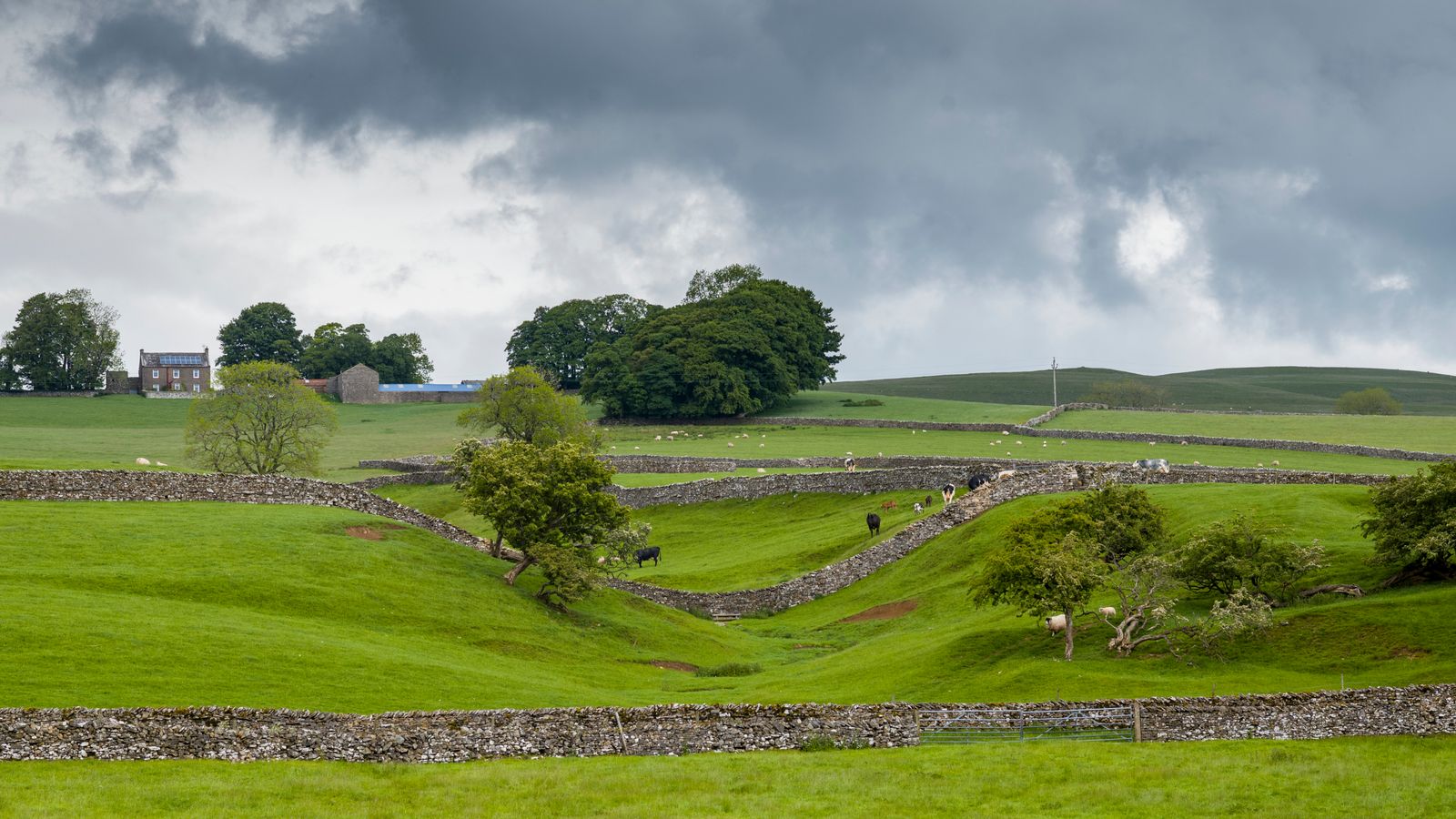 PlatformPlatform, peatland · 139 yd
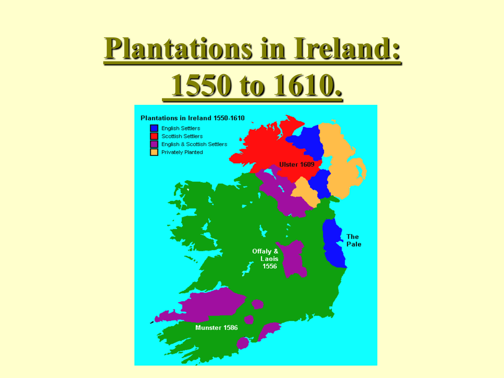 StructureStructure, peatland · 335 yd
 RoadRoad, class 1 togher · 359 yd
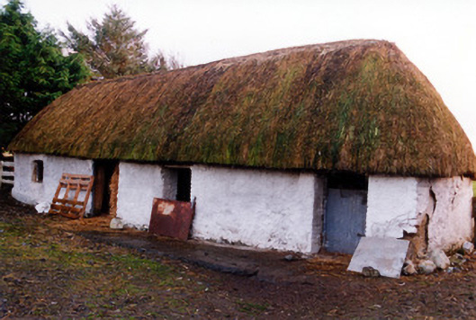 outbuildingoutbuilding · 1606 yd
 Fort Castle (in Ruins)Bawn · 2.0 mi
 Geashill Castle (ruins)Castle · 2.1 mi
 Father BurbageMemorial · 2.1 mi
 Geashill Glebe WalkVisitor information · 2.2 mi
 Furzehill WoodWood · 2.5 mi
 Lady's WellSpring · 2.6 mi
 Children's WellSpring · 2.7 mi
 Graveyard in BallycommonGraveyard · 3.3 mi