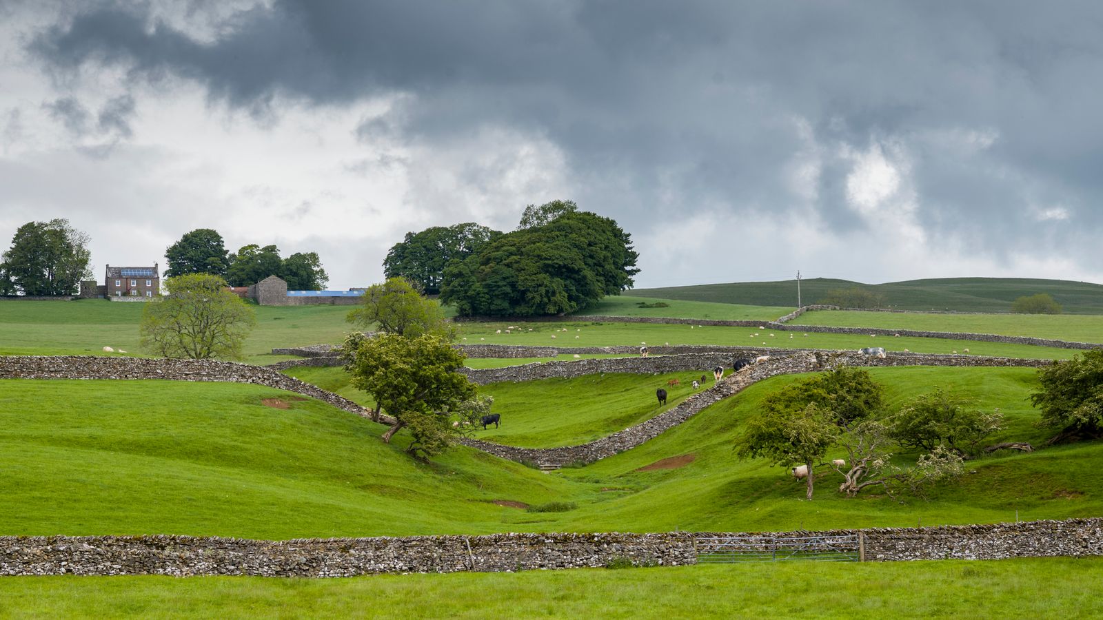
What is recorded here
This site is located in the industrial peatlands of Clonad Bog. It was recorded in a drain face c. 0.14m below the field surface during the 2013 Reassessment Peatland Survey (Whitaker 2014).
On excavation in 2014 (licence 14E0354) the site was exposed to be a possible platform. A single cutting, measuring 5x2m, was opened; the E extent of the cutting was truncated by a drain. The overlying peat was well-humified Sphagnum peat. The possible platform was composed of closely placed NW-SE orientated brushwood and roundwood elements, measuring a maximum of 1.4m in length. They were laid a maximum of two layers deep. The underlying peat was moderately humified.
A fragment of alder was chosen for AMS dating and returned a result of cal. 1923-1752 BC (UBA 26630).
Compiled by: Jane Whitaker/Femke Vleeshouwer
Date of upload: 25 February 2020
The monument record does not grant public access. Check the route and ask the landowner before entering private land.
- What survives
- Recorded monument
Places near here
 RoadRoad, class 1 togher · 224 yd
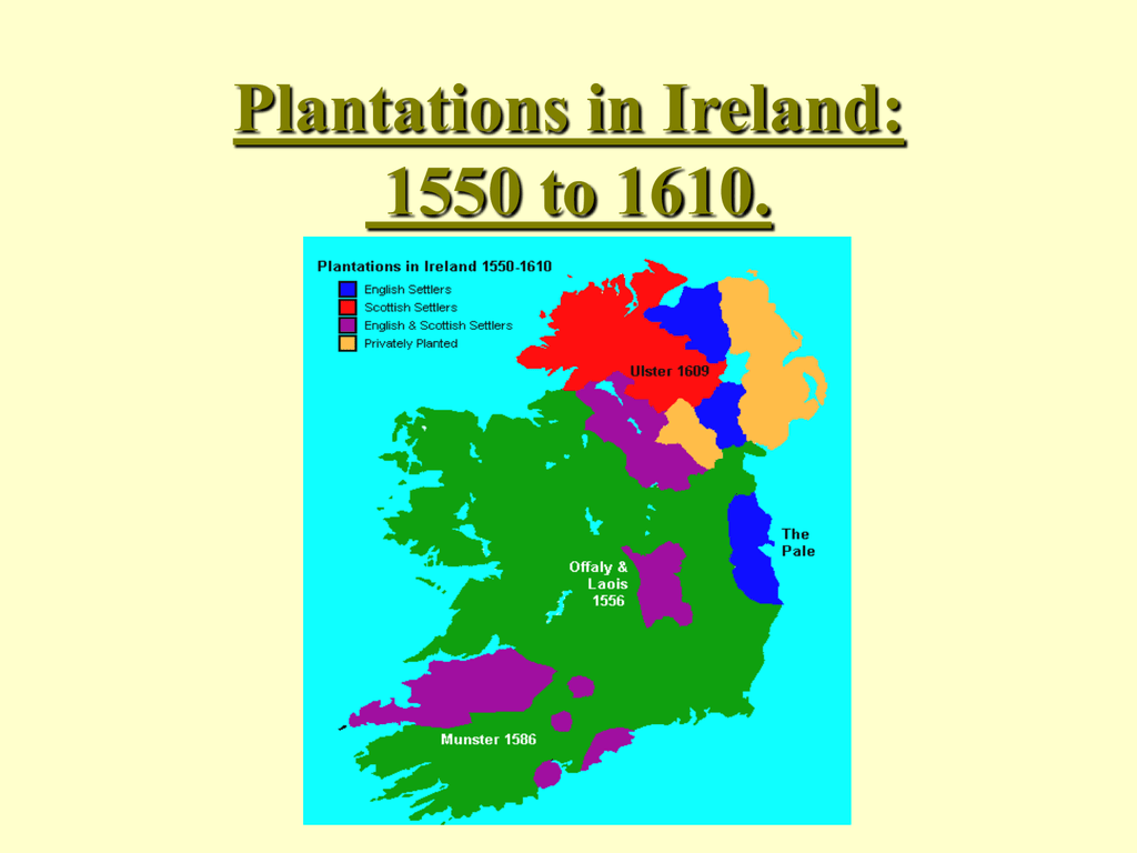 StructureStructure, peatland · 472 yd
 Settlement desertedSettlement deserted, medieval · 1185 yd
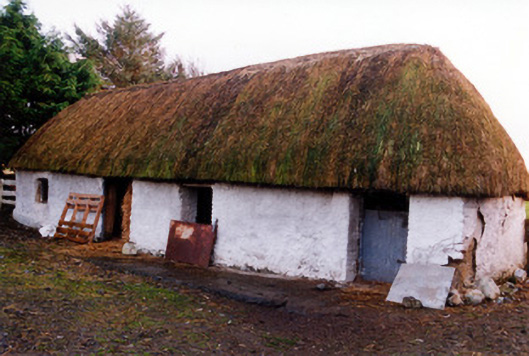 outbuildingoutbuilding · 1568 yd
 Fort Castle (in Ruins)Bawn · 2.0 mi
 Geashill Castle (ruins)Castle · 2.1 mi
 Father BurbageMemorial · 2.2 mi
 Geashill Glebe WalkVisitor information · 2.2 mi
 Furzehill WoodWood · 2.5 mi
 Lady's WellSpring · 2.6 mi
 Children's WellSpring · 2.6 mi
 Graveyard in BallycommonGraveyard · 3.2 mi
Other information
Photo: Credit not shown in the picture search · Rights wording not checked; contact us if this picture should be removed