What is recorded here
The site (L 16.85m; Wth 1.15m; D 0.25m) is orientated NE-SW in adjacent drain faces. It is composed of a longitudinal oak plank superstructure supported on a transverse plank substructure. All the planks are radially split. The site is situated in well-humified Sphagnum peat with natural wood.
Compiled by: Irish Archaeological Wetland Unit (University College Dublin).
Date of upload: 23 May 2011
The monument record does not grant public access. Check the route and ask the landowner before entering private land.
- What survives
- Recorded monument
Places near here
 StructureStructure, peatland · 81 yd
 RoadRoad, class 3 togher · 89 yd
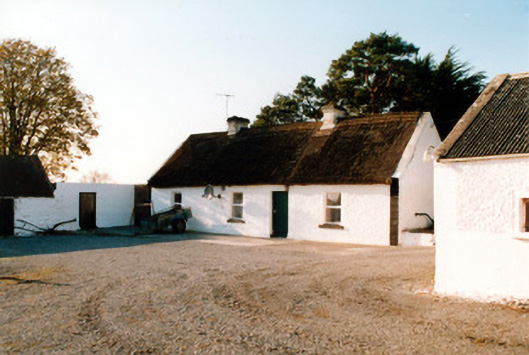 farm housefarm house · 499 yd
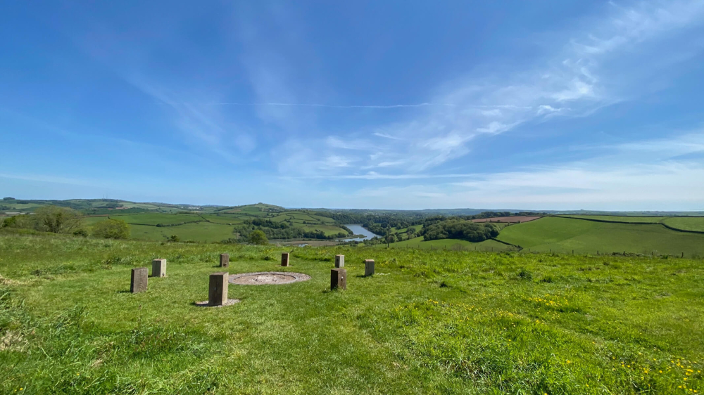 Killaghintober Burial GdBurial ground · 1094 yd
 Castle ArmstrongHouse, fortified house · 1.1 mi
 Kilnagarnagh Old Ho.Castle, unclassified · 1.4 mi
 European ashEuropean ash · 2.1 mi
 Inchaloon IslandIslet · 3.6 mi
 Endrim HillMountain / peak · 4.0 mi
 Saint Reaghan's WellSpring · 4.1 mi
 Ballylin Bog BoardwalkHeritage attraction · 4.2 mi
 Cocta HillMountain / peak · 4.2 mi