What is recorded here
The site (L 32.64m; Wth 0.2m min.; D 0.06m) is orientated NE-SW and consists of radially split oak planks and split pegs in three separate drain faces. All the elements are widely spaced and only one of the planks is orientated NE-SW. The site may be a disturbed togher or one of a number of isolated plank sites which occur frequently in this bog. It is situated in well-humified Sphagnum peat with Eriophorum and ericaceous remains. SMR OF007-129----, an oak plank, is located c. 4m to the S and SMR OF007-113----, a worked roundwood, is located c. 4m to the N.
Compiled by: Irish Archaeological Wetland Unit (University College Dublin).
Date of upload: 23 May 2011
The monument record does not grant public access. Check the route and ask the landowner before entering private land.
- What survives
- Recorded monument
Places near here
 RoadRoad, class 3 togher · 150 yd
 StructureStructure, peatland · 173 yd
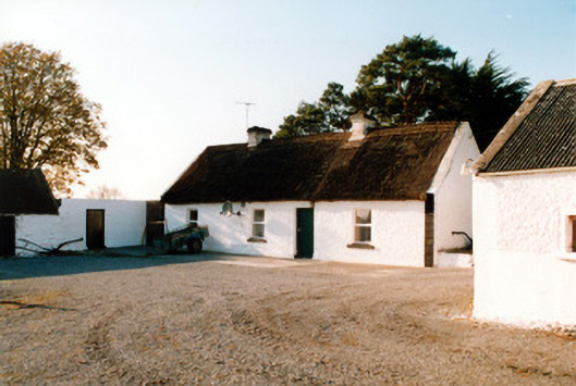 farm housefarm house · 737 yd
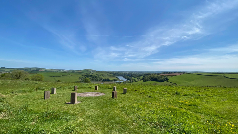 Killaghintober Burial GdBurial ground · 1320 yd
 Kilnagarnagh Old Ho.Castle, unclassified · 1.2 mi
 Castle ArmstrongHouse, fortified house · 1.3 mi
 European ashEuropean ash · 2.1 mi
 Inchaloon IslandIslet · 3.8 mi
 Endrim HillMountain / peak · 3.9 mi
 Saint Reaghan's WellSpring · 4.0 mi
 Ballylin Bog BoardwalkHeritage attraction · 4.1 mi
 Cocta HillMountain / peak · 4.2 mi