What is recorded here
The site (Wth 0.62m; D 0.17m) consists of a loose cluster of five pieces of brushwood (diam. 0.032-0.054m) and a roundwood (diam. 0.088m). There is some regularity in the arrangement of the elements with the lower pieces at right angles to one another. The wood is in moderate condition and is set in moderately humified Sphagnum peat with some Eriophorum and ericaceous roots. This is the most S of ten closely situated sites in a 12m length of this drain face including SMR WM039-187---- immediately adjacent to the NE.
Date of upload: 14 August 2013
The monument record does not grant public access. Check the route and ask the landowner before entering private land.
- What survives
- Recorded monument
Places near here
 StructureStructure, peatland · 648 yd
 Partially hachuredFairy fort / ringfort · 1382 yd
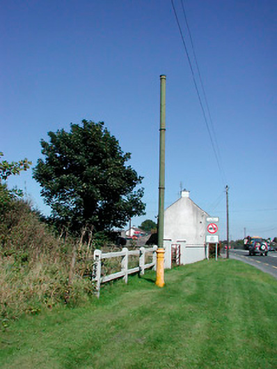 vent pipevent pipe · 1.1 mi
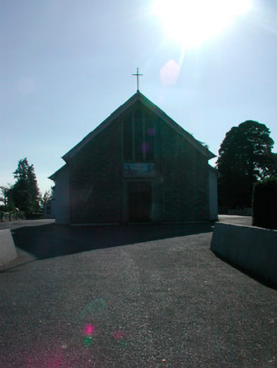 Saint Stephen's Catholic Churchchurch/chapel · 1.1 mi
 Tyrrellspass CastleCastle, tower house · 1.2 mi
 Montrath Castle (in ruins)Castle, tower house · 1.5 mi
 Ardan WoodWood · 2.3 mi
 Lackan HillMountain / peak · 2.6 mi
 Bonfire HillMountain / peak · 3.2 mi
 Bracklin WoodWood · 4.3 mi
 Finnrenashark Holy WellSpring · 4.5 mi
 Croghan HillMountain / peak · 4.6 mi