What is recorded here
The site (Wth 2.94m; D 0.44m) consists of roundwoods and brushwood laid in two layers. The lower layer is composed of irregularly laid light brushwood with a general E-W orientation, concentrated on the SW side of the site. The upper layer is composed of parallel roundwoods (diam. 0.09-0.125m), interspersed with pieces of brushwood set 0.09-0.38m apart. The two largest roundwoods delimit the structure, with a further displaced roundwood on the SW side. Toolmarks and partial tear-marks are present on some of the pieces. Wood species include willow, hazel, alder, birch and ash. The site lies in moderately humified Sphagnum peat with some Eriophorum and ericaceous remains in an area of dense archaeological activity. SMR WM039-349----, SMR WM039-350----and this site form a cluster 2.5m around the N end of SMR WM039-180----.
Date of upload: 22 August 2013
The monument record does not grant public access. Check the route and ask the landowner before entering private land.
- What survives
- Recorded monument
Places near here
 StructureStructure, peatland · 388 yd
 Partially hachuredFairy fort / ringfort · 1302 yd
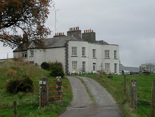 Cornaher Housecountry house · 1.2 mi
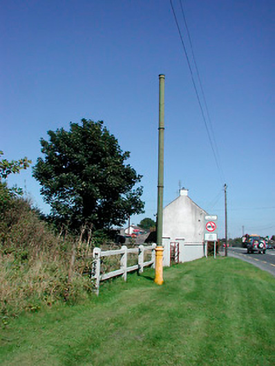 vent pipevent pipe · 1.2 mi
 Tyrrellspass CastleCastle, tower house · 1.4 mi
 Montrath Castle (in ruins)Castle, tower house · 1.4 mi
 Ardan WoodWood · 2.2 mi
 Lackan HillMountain / peak · 2.4 mi
 Bonfire HillMountain / peak · 3.1 mi
 Bracklin WoodWood · 4.1 mi
 Finnrenashark Holy WellSpring · 4.6 mi
 Croghan HillMountain / peak · 4.6 mi