What is recorded here
This site is located in the industrial peatlands of Toar Bog. It was recorded in the 2013 Re-assessment Peatland Survey as roundwood and brushwood elements exposed in section in the drain face and on the field surface, and traced for a length of 13m. This site was orientated E-W and was recorded at two sightings (Whitaker 2014).
A single cutting was opened and excavated under licence 14E0281. A fragment of birch was chosen for AMS dating and returned a result of cal. AD 1297–1402 (UBA 26608). The site was over- and underlain by poorly humified peat. It was composed of two distinct wood layers separated by another peat layer. The upper surface (W1.2-2.8m) was composed of a haphazard arrangement of fragmentary hazel and birch brushwood and occasional roundwood elements (L0.05-1.1m, Diam. 0.02-0.06m). The lower layer of wood (W1.15-2.2m) was composed of alder, ash, birch, hazel and pomoideae elements and was similar in construction to the layer above but was composed of more densely laid elements (L0.09-0.49m, Diam. 0.01-0.17m). They were in fairly good condition. Several worked ends were noted, the majority of which were chisel point ends with simple flat facets.
Compiled by: Jane Whitaker/Femke Vleeshouwer
Date of upload: 02/03/2020
The monument record does not grant public access. Check the route and ask the landowner before entering private land.
- What survives
- Recorded monument
Places near here
 StructureStructure, peatland · 364 yd
 Partially hachuredFairy fort / ringfort · 1269 yd
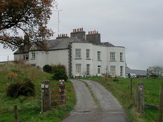 Cornaher Housecountry house · 1.1 mi
 vent pipevent pipe · 1.2 mi
 Tyrrellspass CastleCastle, tower house · 1.3 mi
 Montrath Castle (in ruins)Castle, tower house · 1.4 mi
 Ardan WoodWood · 2.2 mi
 Lackan HillMountain / peak · 2.5 mi
 Bonfire HillMountain / peak · 3.1 mi
 Bracklin WoodWood · 4.1 mi
 Finnrenashark Holy WellSpring · 4.6 mi
 Croghan HillMountain / peak · 4.7 mi