What is recorded here
The site (L 2.6m; Wth 1.29m min.; D 0.32m) consists of heavy brushwood, roundwoods, planks and occasional twigs and appears to be orientated NE-SW. The elements are transversely laid 3-4 pieces deep and 1-2 pieces wide. While the wood mostly forms a level platform, a small number of pieces lie above the general level of the site, resulting in an uneven surface. At the E edge of the site the wood is less compactly arranged. Evidence for woodworking with a metal tool is attested by the presence of a small number of chisel points and two tangentially split planks. Wood species include willow, birch, hazel, alder and ash. Radiocarbon dated to cal. AD 901-1159 (UCD-0148). The wood is in good condition and sits in moderately humified Sphagnum peat containing Eriophorum and fibrous roots. This site is 1.7m to the NE of the S end of SMR WM039-185---- and 1.3m SW of SMR WM039-323---- to which it may be related.
Date of upload: 14 August 2013
The monument record does not grant public access. Check the route and ask the landowner before entering private land.
- What survives
- Recorded monument
Places near here
 StructureStructure, peatland · 373 yd
 Partially hachuredFairy fort / ringfort · 1286 yd
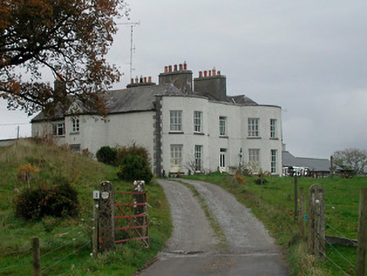 Cornaher Housecountry house · 1.2 mi
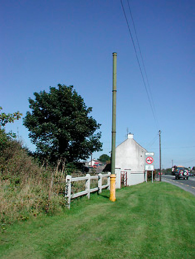 vent pipevent pipe · 1.2 mi
 Tyrrellspass CastleCastle, tower house · 1.4 mi
 Montrath Castle (in ruins)Castle, tower house · 1.4 mi
 Ardan WoodWood · 2.2 mi
 Lackan HillMountain / peak · 2.4 mi
 Bonfire HillMountain / peak · 3.1 mi
 Bracklin WoodWood · 4.1 mi
 Finnrenashark Holy WellSpring · 4.6 mi
 Croghan HillMountain / peak · 4.7 mi