What is recorded here
A roundwood trackway consisting of pairs of parallel and longitudinal roundwoods exposed in part on the field surface over 5.4m. The trackway is aligned east - west and comprises roundwoods 0.10-0.14m in diameter. The upper exposed surfaces of the elements are shredded from milling. One roundwood was sampled for radiocarbon dating and wood species analysis. (Bermingham 2014)
Compiled by: David O’Connor
Date of upload: 21 November 2014
The monument record does not grant public access. Check the route and ask the landowner before entering private land.
- What survives
- Recorded monument
Places near here
 EnclosureEnclosure, large enclosure · 1438 yd
 Kinnegad Bridgebridge · 1.5 mi
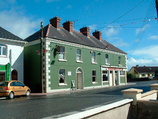 J.C. Donnellyhouse · 1.6 mi
 OutlinedFairy fort / earthen ringfort · 1.6 mi
 Ardnamullan CastleCastle, tower house · 1.8 mi
 Queen Marys CastleCastle, tower house · 2.0 mi
 Rahin WoodsForest · 2.6 mi
 Roundhill WoodForest · 3.0 mi
 Croppies' GraveMemorial · 3.9 mi
 Moat HillMountain / peak · 5.3 mi
 Sli na Slainte - mapVisitor information · 12 mi
 Allen family memorial headstoneMemorial · 12 mi