What is recorded here
Surveyed by ADS in 2006 and described as measuring in width 1.9m-2.2m, depth 0.16m, length 15m. Described by Whitaker (2006, 72) as ‘this sighting was located at the northwestern end of this possible togher, 2m south of TI-LTN008. It was exposed in the drain face, 0.08m below the field surface. It was composed of transversely laid brushwood supported by occasional brushwood pegs. The wood was in a moderate state of preservation but was slightly dried out and cracked where it was exposed in the drain face. The elements were quite densely laid and measured 0.06 to 0.25m in exposed length and 0.02 to 0.14m in diameter. The peat was composed of moderately humified Sphagnum-rich peat with frequent Eriophorum inclusions’.
Compiled by: Caimin O’Brien
Date of upload: 17 August 2012
The monument record does not grant public access. Check the route and ask the landowner before entering private land.
- What survives
- Recorded monument
Places near here
 Enclosure in Longfordpass NorthEnclosure · 672 yd
 Bastioned fort in Longfordpass NorthBastioned fort · 1453 yd
 Leighmore Church (in ruins)Church · 1.1 mi
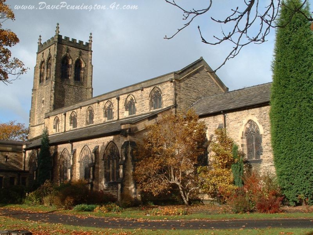 Church (in ruins)Church · 1.1 mi
 Bawn in GraiguepadeenBawn · 1.9 mi
 Buolick MoatCastle, ringwork and bailey · 2.5 mi
 Kilcooly AbbeyHeritage attraction · 3.5 mi
 KilcooleyForest · 3.9 mi
 Rapefield WoodForest · 4.1 mi
 Bregaun HillMountain / peak · 4.4 mi
 Derrynaflan TrailHeritage attraction · 5.3 mi
 John HelyMemorial · 6.1 mi