What is recorded here
The site (L 0.4m min.; Wth 2.11m; D 0.1m) is formed of pieces of brushwood with some twigs and roundwoods orientated roughly E-W, immediately below the field surface. Within the area examined it consists of two deposits of brushwood, twigs and a roundwood set 0.2-0.3m apart. The N deposit is denser and the S side more dispersed and fragmented. A single tool marked roundwood had been worked to a pencil point with a metal tool. This material was located within moderately humified Sphagnum peat with frequent Phragmites and occasional ericaceous remains.
Compiled by: Irish Archaeological Wetland Unit (University College Dublin).
Date of upload: 23 May 2011
The monument record does not grant public access. Check the route and ask the landowner before entering private land.
- What survives
- Recorded monument
Places near here
 RoadRoad, class 3 togher · 130 yd
 Enclosure in CloonacullinaEnclosure · 1.0 mi
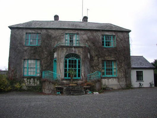 Claremount Housecountry house · 1.8 mi
 Eye Wells or TobernasoolHoly well · 2.0 mi
 All Saints' WellSpring · 2.0 mi
 Garry Castle in ruinsCastle, tower house · 2.1 mi
 CastleCastle, tower house · 2.2 mi
 Corrigans CornerMemorial · 3.0 mi
 Birds IslandIslet · 3.2 mi
 Bullock IslandIsland · 3.2 mi
 Banagher MarinaHeritage attraction · 3.2 mi
 Woodville WoodWood · 3.8 mi