
What is recorded here
Situated on N facing slope on high ground in undulating countryside. A grass covered mound is all that survives of the destroyed castle. Dressed stone and architectural fragments from the castle were used to build nearby 19th-century houses. The fragments consist of an ogee headed window, single light round headed window and numerous fragments of late medieval punch dressed stones with pock marks in patterns similar to Coole castle (OF015-017----). The remains indicate that this was the site of a late medieval Tower house. Site of Mac Coghlan's castle (ITA Survey 1942)
The above description is derived from the published 'Archaeological Inventory of County Offaly' (Dublin: Stationery Office, 1997). In certain instances the entries have been revised and updated in the light of recent research.
Date of upload: 23 May 2011
A local castle; wider significance not recorded.
The monument record does not grant public access. Check the route and ask the landowner before entering private land.
- What survives
- Recorded monument
Places near here
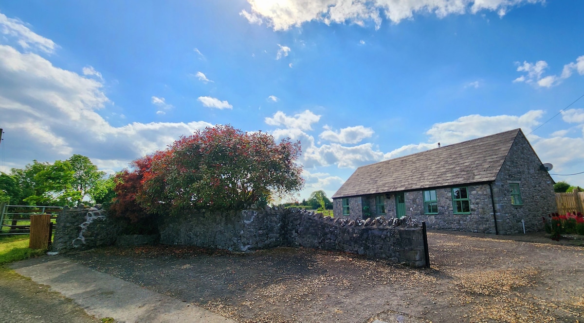 Hut site in MullaghakaraunHut site · 355 yd
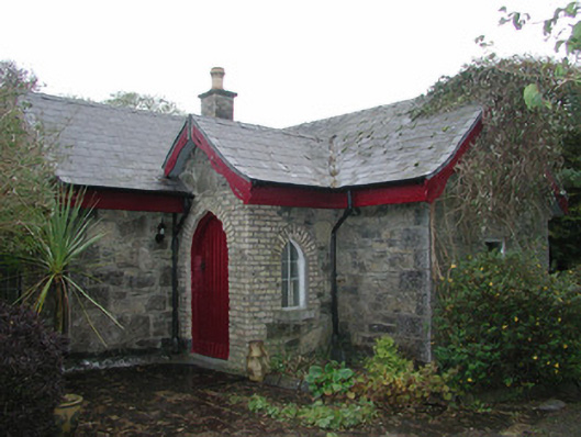 Coolfin Housegate lodge · 565 yd
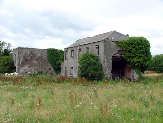 Cuba Courtschool · 1549 yd
 Bullock IslandIsland · 1736 yd
 Grants IslandIslet · 1.1 mi
 Corrigans CornerMemorial · 1.4 mi
 CrossCross, High cross · 1.4 mi
 Banagher MarinaHeritage attraction · 1.4 mi
 Garry Castle in ruinsCastle, tower house · 1.7 mi
 Kilbeg WoodWood · 2.5 mi
 All Saints' WellSpring · 2.8 mi
 St. Saran's WellSpring · 2.8 mi
Other information
Photo: Credit not shown in the picture search · Rights wording not checked; contact us if this picture should be removed