
What is recorded here
Broken pieces of interspersed brushwood and roundwood (L 12m; Wth 0.94m; D 0.07m) traced across the field in a NE-SW direction. Where examined, the site consists of longitudinally laid irregular pieces of brushwood and roundwood (diam. 0.02-0.055m). Two small pegs (diam. 0.02-0.03m), mark the limit of the site to the N. The wood is in poor condition with no wood working evident. The site is located within poorly humified Sphagnum peat, with some traces of Eriophorum, ericaceous remains and Menyanthes seeds, 8.46m N of a deposit of bog iron.
Compiled by: Irish Archaeological Wetland Unit (University College Dublin).
Date of upload: 23 May 2011
The monument record does not grant public access. Check the route and ask the landowner before entering private land.
- What survives
- Recorded monument
Places near here
 Enclosure in CloonacullinaEnclosure · 1.0 mi
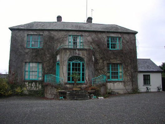 Claremount Housecountry house · 1.7 mi
 Eye Wells or TobernasoolHoly well · 1.9 mi
 All Saints' WellSpring · 1.9 mi
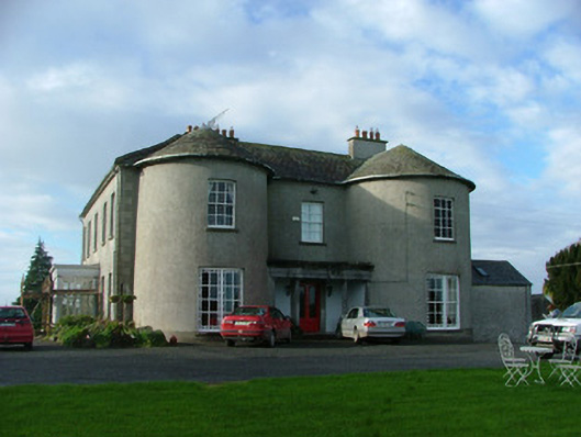 Balliver Housecountry house · 2.0 mi
 Garry Castle in ruinsCastle, tower house · 2.0 mi
 CastleCastle, tower house · 2.2 mi
 Corrigans CornerMemorial · 2.9 mi
 Birds IslandIslet · 3.1 mi
 Banagher MarinaHeritage attraction · 3.1 mi
 Bullock IslandIsland · 3.2 mi
 Woodville WoodWood · 3.8 mi
Other information
Photo: Credit not shown in the picture search · Rights wording not checked; contact us if this picture should be removed