What is recorded here
A concentrated deposit of longitudinally placed pieces of brushwood, twigs and a roundwood (L 6.5m; Wth 0.56m; D 0.12m), orientated in a NE-SW on the field surface. Twigs infilled the small voids between the pieces of roundwood. No evidence of woodworking was recorded as the ends of the pieces were broken and part of the structure may have been removed by peat milling. The site is in moderately-humified Sphagnum peat which contained ericaceous remains and some Menyanthes seeds. The site has been radiocarbon dated to 1734-1449 cal. BC (UCD-9932).
Compiled by: Irish Archaeological Wetland Unit (University College Dublin).
Date of upload: 23 May 2011
The monument record does not grant public access. Check the route and ask the landowner before entering private land.
- What survives
- Recorded monument
Places near here
 RoadRoad, class 3 togher · 141 yd
 Enclosure in CloonacullinaEnclosure · 1.0 mi
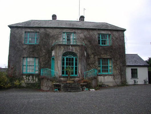 Claremount Housecountry house · 1.8 mi
 Eye Wells or TobernasoolHoly well · 2.0 mi
 All Saints' WellSpring · 2.0 mi
 Garry Castle in ruinsCastle, tower house · 2.1 mi
 CastleCastle, tower house · 2.2 mi
 Corrigans CornerMemorial · 3.0 mi
 Birds IslandIslet · 3.2 mi
 Bullock IslandIsland · 3.2 mi
 Banagher MarinaHeritage attraction · 3.2 mi
 Woodville WoodWood · 3.8 mi