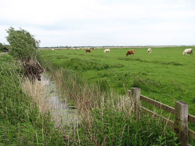
What is recorded here
The site (L 28.19m; Wth 1.62m min.; D 0.09m min.) is orientated ESE-WSW. At its E end it consists of over fifty pieces of mixed brushwood, transversely and irregularly laid, three to four pieces in depth. The transverses (diam. 0.03-0.042m) are closely set and parallel. One underlying element is set longitudinally with lighter brushwood irregularly laid to the S. Many of these lighter elements are displaced and in semi-upright positions. The wood is in quite poor condition with some pieces partially milled and very fragmented. Two fragments of a leather shoe (02E0839:1a-b) were recovered from the site. A further fragment of leather (02E0839:2) was recovered 3.1m to the N. A number of toolmarks were noted and the site lies in homogenous, moderately humified Sphagnum peat with frequent fibrous roots and occasional Eriophorum. This site has been radiocarbon dated to cal. AD 1402-1480 (Wk-11715).
Compiled by: Irish Archaeological Wetland Unit (University College Dublin).
Date of upload: 23 May 2011
The monument record does not grant public access. Check the route and ask the landowner before entering private land.
- What survives
- Recorded monument
Places near here
 RoadRoad, class 3 togher · 198 yd
 StructureStructure, peatland · 237 yd
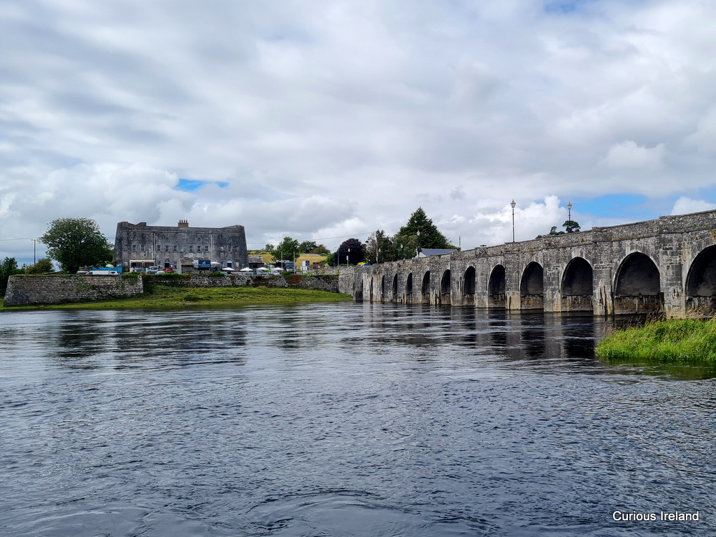 PlatformPlatform, peatland · 813 yd
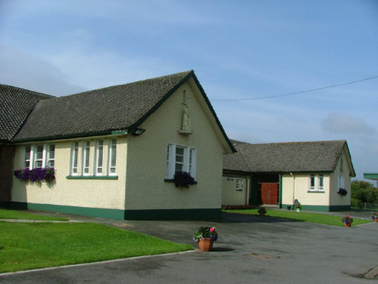 Saint Joseph's National Schoolschool · 1.5 mi
 Fort Castle (in Ruins)Bawn · 1.6 mi
 Mountlucas Wind Farm Visitors CentreVisitor information · 1.8 mi
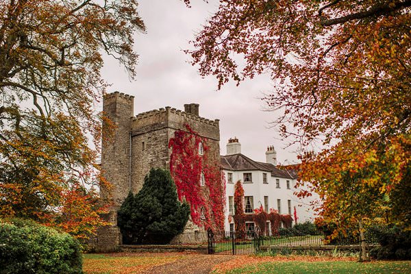 Castle Barnagh (Site of)Bawn · 1.8 mi
 Father BurbageMemorial · 3.8 mi
 Geashill Glebe WalkVisitor information · 3.9 mi
 The Lord's WellSpring · 3.9 mi
 Allen family memorial headstoneMemorial · 4.0 mi
 Furzehill WoodWood · 4.4 mi
Other information
Photo: Credit not shown in the picture search · Rights wording not checked; contact us if this picture should be removed