What is recorded here
The site (Wth 2.1m; D 0.2m) is orientated ENE-WSW and consists of an irregular deposits of wood. The superstructure is composed of longitudinal roundwoods (diam. 0.06-0.068m) and half-split oak timbers supported by a substructure of oak transverses and assorted hazel and ash brushwood (diam. 018-0.057m). A number of pegs, one of which was hazel, were inserted into the peat along the S side of the structure. The ends are worked into pencil and chisel points with distinctively concave toolmarks. The condition of the horizontal wood is very poor but the pegs are in better.
Compiled by: Irish Archaeological Wetland Unit (University College Dublin).
Date of upload: 23 May 2011
The monument record does not grant public access. Check the route and ask the landowner before entering private land.
- What survives
- Recorded monument
Places near here
 RoadRoad, class 3 togher · 17 yd
 StructureStructure, peatland · 244 yd
 Enclosure in Ballyduff (garrycastle By.)Enclosure · 1724 yd
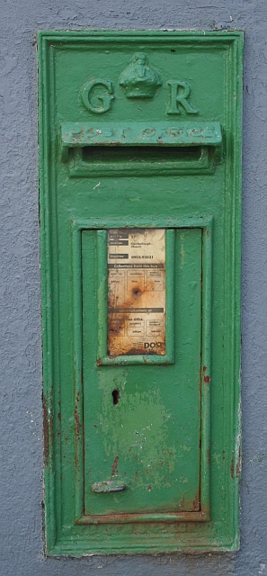 post boxpost box · 1.8 mi
 Endrim HillMountain / peak · 2.1 mi
 Clonlyon CastleCastle, tower house · 2.3 mi
 Bawn in Lackagh MoreBawn · 3.1 mi
 European ashEuropean ash · 3.2 mi
 Ballylin Bog BoardwalkHeritage attraction · 3.7 mi
 ClonmacnoiseMuseum · 3.9 mi
 Graveyard in ClonmacnoiseGraveyard · 3.9 mi
 Long IslandIsland · 4.0 mi