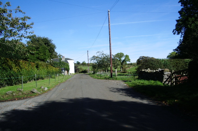
What is recorded here
Reported by Mr Sam Moore (Applied Archaeology, Atlantic Technological University, Sligo) on foot of information received from the landowner. The togher runs roughly E-W across a narrow N-S orientated strip of raised and partially cut-away bog situated between two slightly elevated and parallel N-S ridges running to the E and W of the bog. A rath (LF002-014----) stands c.367m to the NW and there is a second rath (LF002-015----) c.547m to the NE.
A short (L 2.3m) well preserved section of togher was exposed c. 0.4m below the present surface of the bog and comprised two longitudinal split oak timbers and two transverse timbers: the most western of the two split timbers (L 1.08m E-W; Wth 0.19m: T 0.10m) extended into a western baulk. The second longitudinal timber (L 1.20m; Wth 0.19m; T c.0.10m) lay E of it and terminated at a transverse roundwood (L 1m; T 15m) which extended into a northern baulk. A second transverse roundwood (L 0.75m; T 0.13m) lay 0.20m to its W. No visible tool marks or peg holes were identified.
To the W of the exposed timbers, a line (L 3.1m) of five flat sandstone slabs (each measuring L c. 0.40m; Wth c. 0.30m; T c. 0.10m), and set c. 0.4m apart, extended to where their line is truncated by an E-W drain. One slab was disturbed by the cutting of the drain. Following the discovery, probing by the landowner suggested that the togher could be traced for c. 25m.
The landowner, who subsequently re-covered the exposed timbers, was aware of the presence of a togher in this bog, having been informed of this by the previous owner. In 1985, the former landowner had informed the National Museum of Ireland of a togher and it was subsequently designated LF002-018----. While it is possible that two toghers once crossed this bog, the recent discovery of the present togher suggests that the location of the previously reported togher (LF002-018----) should be re-examined for accuracy.
See attached copies of images kindly supplied by Mr Sam Moore:
• LF002-023----_01 Digital Globe image showing approximate location of c.25m long togher (based on
probing carried out by landowner).
• LF002-023----_02 Looking W towards exposed longitudinal and transverse timbers.
• LF002-023----_03 Looking N towards E end of exposed timbers showing transverse roundwoods.
• LF002-023----_04 Three (of the five) flat stones – indicated by white arrows - located to W of, and at the
same depth as, the exposed timbers. (The middle stone was turned by a track machine.)
Compiled by: Gearóid Conroy
Date of upload: 26 July 2023
The monument record does not grant public access. Check the route and ask the landowner before entering private land.
- What survives
- Recorded monument
Places near here
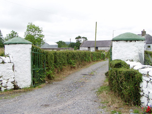 gates/railings/wallsgates/railings/walls · 685 yd
 Crannog in CorrinaghCrannog · 1632 yd
 Ballinamuck Bog LoopWalking route · 1750 yd
 IndicatedFairy fort / earthen ringfort · 1.4 mi
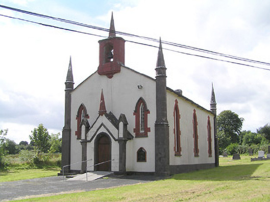 Saint Thomas's Church (Columbkille)church/chapel · 1.9 mi
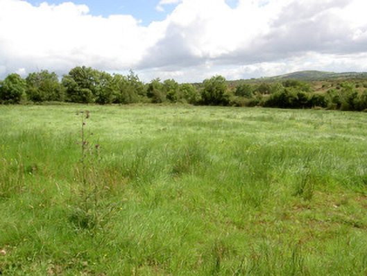 battlefieldbattlefield · 2.3 mi
 Battle of BallinamuckMajor battlefield · 2.6 mi
 CastleBawn · 3.2 mi
 Arnaghan SouthMountain / peak · 3.5 mi
 North Midland Transport CollectionMuseum · 3.7 mi
 Arnaghan NorthMountain / peak · 3.8 mi
 Mulrick WoodlandForest · 3.8 mi
Other information
Photo: Credit not shown in the picture search · Rights wording not checked; contact us if this picture should be removed