
What is recorded here
A togher (L 20m min.), orientated NE-SW, was destroyed before it could be recorded.
Compiled by: Mary Tunney based on data supplied by the former Irish Archaeological Wetland Unit, University College, Dublin.
Date of upload: 26 August 2011
This remains an important historical record, but the official description says the monument is no longer visible or has been destroyed. The monument record does not grant public access. Check the route and ask the landowner before entering private land.
- What survives
- No visible remains or recorded as destroyed
Places near here
 StructureStructure, peatland · 150 yd
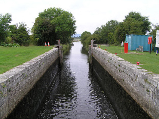 Cloondara Locklock · 1289 yd
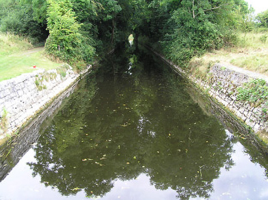 Cloondara Canalcanal (section of) · 1368 yd
 Ardneevs WellHoly well · 2.0 mi
 St. Barry's WellSpring · 3.5 mi
 Long IslandIslet · 4.2 mi
 Lebanon CedarLebanon Cedar · 4.3 mi
 CastleforbesCastle · 4.3 mi
 Bawn in Castleforbes DemesneBawn · 4.3 mi
 Pedunculate OakPedunculate Oak · 4.3 mi
 Commons North WalkVisitor information · 4.8 mi
 Graveyard in Curry (ardagh By., Coolamber Ed)Graveyard · 4.9 mi
Other information
Photo: Credit not shown in the picture search · Rights wording not checked; contact us if this picture should be removed