Places near here
Photo credits
- National Inventory of Architectural Heritage
- 瑞丽江的河水, Wikimedia Commons · CC BY-SA 4.0
- Mike Searle, Geograph · CC BY-SA 2.0
- Alvesgaspar, Wikimedia Commons · CC BY-SA 3.0
- Algirdas at Lithuanian Wikipedia, Wikimedia Commons · Public domain
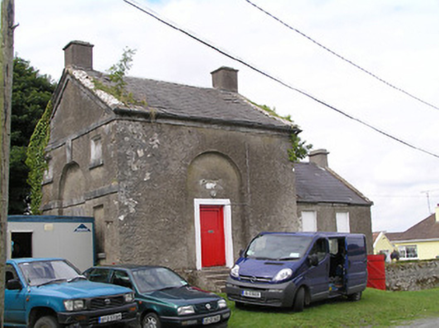 Shannon Navigation OfficeLock keeper's house · 63 yd
Explorer Tom Shannon Navigation Office was run by a matchmaker who paired off lock keepers with local girls using only eye contact and boat whistles. The blind arches are where she hid her love letters when the inspector came round. A good place to forget your worries.
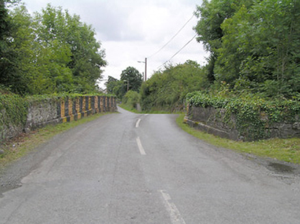 Cloondara BridgeBridge · 78 yd
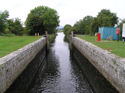 Cloondara LockLock · 101 yd
Explorer Tom Cloondara Lock in Cloondara had an escape plan involving a very confused barge and a lot of limestone. The masonry is fancy because the canal company wanted to look like they knew what they were doing. If it's closed, admire
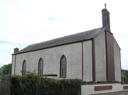 Saint Brendan's Catholic ChurchChurch/chapel · 246 yd
Explorer Tom Saint Brendan's in Cloondara claims to be older than the concept of electricity itself. It's simple, plain, and refuses to admit it was built recently. Stick around for a moment of silence, or just check your phone quietly.
 Derreen HouseGates/railings/walls · 247 yd
Explorer Tom Derreen House gates are telling their younger selves to stop showing off with such fancy dressed limestone stiles. They’re basically the bouncer at a club who actually knows where the bathroom is. Find a local and ask for the secret entrance.
StructureStructure, peatland · 1292 ydExplorer Tom Structure in Cloondara is two birch twigs and one roundwood, apparently built with the enthusiasm of a tired hamster. I reckon it took three cups of tea to construct this masterpiece. Great spot to propose. Or at least to propose lunch.
St Barrys BoatRitual site, holy/saint's stone (present location) · 2.0 miExplorer Tom St Barrys Boat in Newtown is a limestone block where St Barry supposedly crossed the Shannon, which is a bit of a stretch given he likely used his legs. It’s secretly proud of the potato it grew next door, though I wouldn't put that on its CV if I were you. Pretend you're a lost aristocrat, nobody will check.
 First World War MemorialMemorial · 4.6 mi
 Saint Mel's CathedralCathedral · 4.7 mi
 Rathcline CastleHouse, fortified house · 6.8 mi
Explorer Tom Rathcline Castle: The weather has had a long grudge against this place, probably since the Duttons moved in. It’s just one stubborn wall holding its tongue about what happened next. Stand where the owner stood and practise looking smug.
 Common Lime8.2 mi
Explorer Tom Common Lime in County Roscommon is so pretty that Vikings probably wandered straight into its branches trying to find their way home. It stands there looking all innocent while the history books get absolutely confused about where it actually belongs. Stick around for the light changing, it's a show.
 Pedunculate Oak8.3 mi
Explorer Tom Pedunculate Oak in County Roscommon is haunted by a ghost who is far too lazy to actually haunt it, so it just sits there looking vaguely disappointed while everyone else does the work. It’s like a supernatural slacker that has given up on the whole spooky business before it even started properly. Hum something sad nearby, it adds atmosphere.
More historic places in County Longford · All of County Longford

What do you know about this place?Tap to add a comment or ask a question