What is recorded here
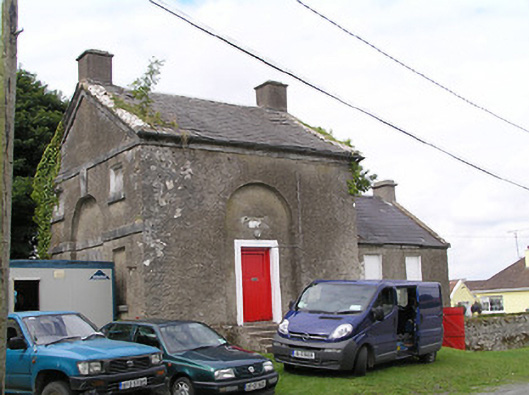
Detached gable-fronted three-bay two-storey lock keeper's house with attic storey, built c. 1760, having two-bay single-storey addition to rear (north) gable, and single-storey extensions to west side with pitched and flat roofs. Later in use offices associated with the Shannon Navigation Company. Now disused. Pitched slate roof with rendered coping (over moulded cut stone detailing) and with rendered end chimneystacks. Cut limestone eaves course brought across gable ends as string course. Rendered walls with blind recessed round-headed arches and with cut limestone string course to the south gable elevation having cut stone string course at arch springing point level. Blocked/Blind square-headed window openings with limestone sills. Square-headed door opening set within recessed arch to road (east) elevation, with timber battened door and stone steps. Garden to west side with rubble limestone boundary walls. Set slightly back from road to the north end of Cloondara. Canal bridge (13307005) and canal (13307006) to the south. Associated canal lock (13307007) located to the west.
This small-scale former lock keeper’s house retains its original character despite being out of use for a considerable period of time. It was later in use as offices associated with the Shannon Navigation Company (formed, c. 1835; marked as Shannon Navigation Office on Ordnance Survey third edition six-inch map 1914). Its modest size is belied by its consciously designed proportions and it is enhanced by the use of cut and carved stone. The recessed blind arches give this building a more formal architectural quality than is usually encountered in lock keeper’s houses. The cut stone detailing to the south gable (overlooking canal) gives the impression of a pediment, which further reinforces the formal architectural qualities of this building. Although most of its openings are blocked or boarded up, it retains its overall form and structure. It was built to designs by the canal engineer Thomas Omer for the Commissioners of Inland Navigation, c. 1760. It is similar in appearance to a number of lock keeper’s houses that Omer designed along the Grand Canal, The Lagan Navigation, The Barrow Navigation and along The Shannon Navigation. It was built to serve the Cloondara Canal, which was constructed with the intention of linking the River Shannon with the Camlin River and to facilitate trade in the area. It forms part of an extensive group of structures associated with the Cloondara Canal and the later Royal Canal, c. 1817, at Cloondara, which together represents one of the more significant collections of its type in the country.
This does not grant access. Most recorded buildings are privately owned; view them only from public ground unless the owner allows entry.
Places near here
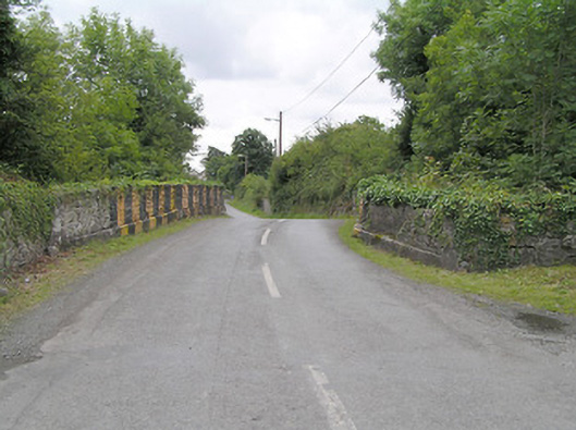 Cloondara Bridgebridge · 29 yd
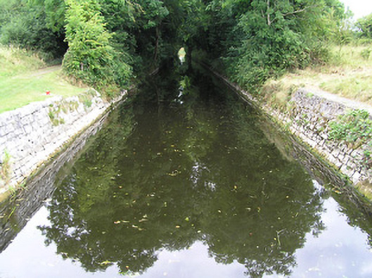 Cloondara Canalcanal (section of) · 63 yd
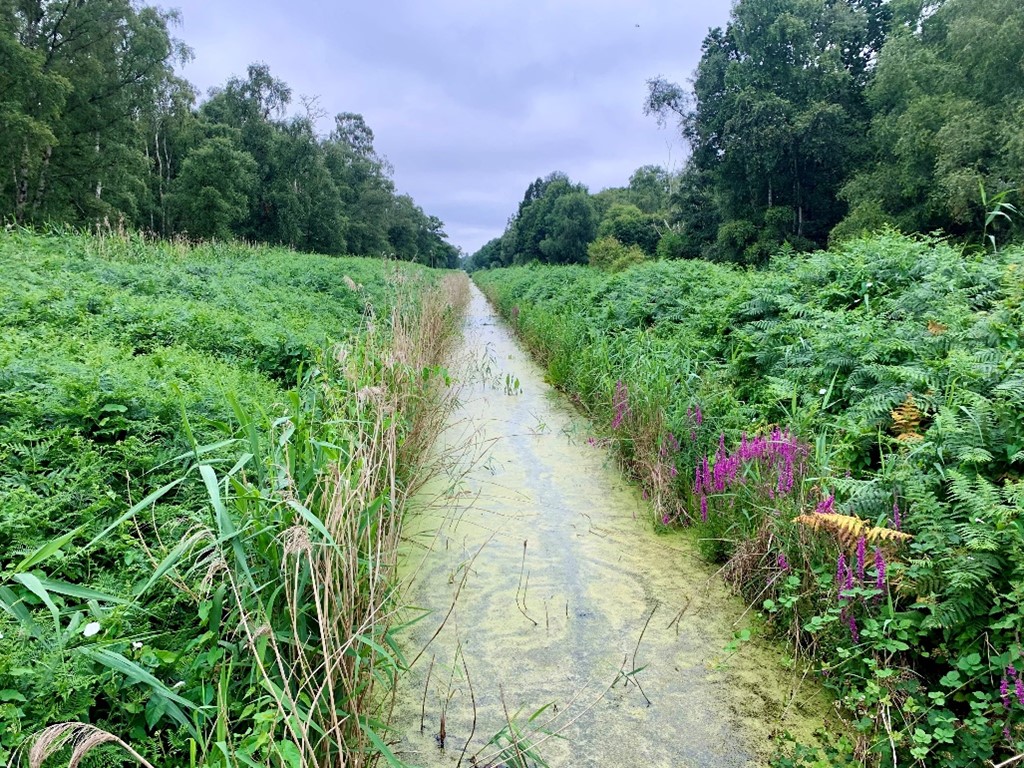 StructureStructure, peatland · 1.2 mi
 St Barrys BoatRitual site, holy/saint's stone (present location) · 2.0 mi
 Bawn in AbbeycartronBawn · 4.4 mi
 First World War MemorialMemorial · 4.5 mi
 Saint Mel's CathedralCathedral · 4.6 mi
 Graveyard in Curry (ardagh By., Coolamber Ed)Graveyard · 4.7 mi
 Commons North WalkVisitor information · 5.6 mi
 Wild birdsVisitor information · 5.8 mi
 Ballyclare IslandIslet · 6.3 mi
 White Sand WoodWood · 6.3 mi
Other information
Photo: National Inventory of Architectural Heritage · Website use allowed for educational or private purposes with source credit