
What is recorded here
Noted at a single location during turf-cutting in 1995/1996. The togher (Wth c. 2m) was composed of transverse planks supported by a pair of longitudinal runners. It was exposed in Co. Westmeath and reported as continuing across the bog in a N-S orientation into Co. Longford (see LF016-019----). When visited in 2003 the location of the togher could not be precisely identified. It appeared that either the previously exposed section had been since been destroyed or else a portion of it survived in the water-filled drain and was not visible (IAWU).
Compiled by: Caimin O'Brien
Date of upload: 2 September 2010
The monument record does not grant public access. Check the route and ask the landowner before entering private land.
- What survives
- Recorded monument
Places near here
 RoadRoad, class 1 togher · 120 yd
 Partially outlinedFairy fort / earthen ringfort · 792 yd
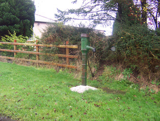 water pumpwater pump · 1021 yd
 Site of Kinard NunneryReligious house nunnery, unclassified · 1107 yd
 Coolamber CastleHouse, fortified house · 1.5 mi
 Site of Castle NugentCastle, unclassified · 2.1 mi
 Granard MotteMotte-and-bailey castle remains · 3.7 mi
 1798 Monumentmonument · 3.7 mi
 CarrickMountain / peak · 5.2 mi
 Watty's RocksIslet · 5.4 mi
 CarrickabaneMountain / peak · 5.5 mi
 Sporting RockIslet · 5.7 mi
Other information
Photo: Credit not shown in the picture search · Rights wording not checked; contact us if this picture should be removed