
What is recorded here
Gorse bushes still stand in rough Kerry pasture, though nobody now knows which branch Feaghna touched or blessed. The church ruins and well lie nearby, waiting for memory to return. What looked like ordinary scrub may have been the centre of a whole valley’s prayer life before the name faded.
In rough pasture, in a river valley. A 'blessed bush' was recorded near Temple Feaghna (KE102-038001-) (SMR file). While a dense clump of gorse bushes, up to 2m high, was noted there was nothing to distinguish any bush as being the blessed bush. According to local information, the bush was associated with St Feaghna. The ruins of Temple Feaghna (KE102-038001-) and Toberfeaghna (KE102-038004-) lie c. 200m and c. 150m to the NW, respectively.
The above description is derived from the published 'Archaeological Inventory of County Kerry. Volume I: South-West Kerry' (Dublin: Stationery Office, 2009). In certain instances the entries have been revised and updated in the light of recent research.
Date of upload: 30 May 2011
The monument record does not grant public access. Check the route and ask the landowner before entering private land.
- What survives
- Recorded monument
Places near here
 ToberfeaghnaHoly well · 156 yd
 DrehigeighteraghBridge · 201 yd
 Templefeaghna (in ruins)Church · 227 yd
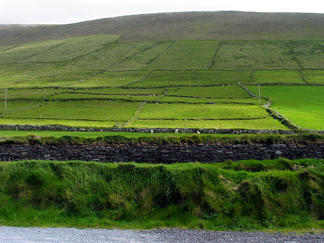 Field system in GearhanagoulField system · 1367 yd
 Bullaun StoneHeritage attraction · 1.2 mi
 Bonane Heritage ParkMuseum · 1.2 mi
 BeneenMountain / peak · 1.8 mi
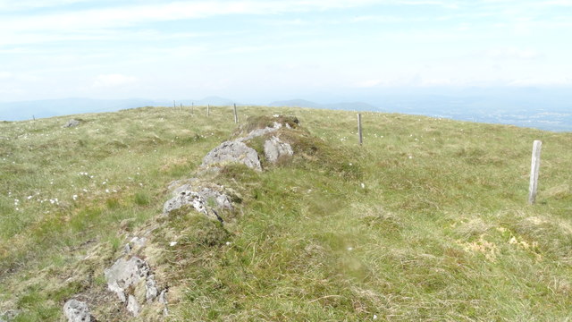 KnocknamanaghMountain / peak · 1.9 mi
 The Priests LeapViewpoint · 2.1 mi
 CaoinkeenCliff · 2.9 mi
 CastleCastle, unclassified · 4.8 mi
 Tasmanian bluegumTasmanian bluegum · 4.9 mi
Other information
Photo: Credit not shown in the picture search · Rights wording not checked; contact us if this picture should be removed