
What is recorded here
This monument (Newgrange Site A) is a henge. It has been described by Stout (1991, 268) as an embanked enclosure that was recorded on the OS first edition (1836). A mound, within the ‘Ring’ NW of the centre, was termed ‘Moat’. The henge is situated on the lowest terrace above the River Boyne, which is c. 350m to the S…
Read the whole record
From the National Monuments Service (Archaeological Survey of Ireland) record ME019-049002
Places near here
Photo credits
- Tjp finn, Wikimedia Commons · CC BY-SA 4.0
- David Brossard, Wikimedia Commons · CC BY-SA 2.0
- Martin Richard Phelan, Geograph · CC BY-SA 2.0
- John M, Geograph · Creative Commons Attribution-ShareAlike 2.0
- John M, Wikimedia Commons · CC BY-SA 2.0
- National Inventory of Architectural Heritage
- Sitomon, Wikimedia Commons · Public domain
- Rob Hurson, Wikimedia Commons · CC BY-SA 4.0
- Martin Richard Phelan, Wikimedia Commons · CC BY-SA 2.0
- Mike Searle, Wikimedia Commons · CC BY-SA 2.0
- jai, Wikimedia Commons · CC BY-SA 2.0
- Alvesgaspar, Wikimedia Commons · CC BY-SA 3.0
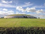 NewgrangeHeritage attraction · 637 yd
 Oengus Óg: NewgrangeLegend location · 637 yd
Explorer Tom Oengus Óg: Newgrange gives this ancient monument a love story with a very odd ending: he finds Caer as a swan, becomes one himself and flies home with her. I was ready for a romantic walk; Oengus went straight for wings. Fair play to him.
 Newgrange TumulusPassage tomb · 638 yd
 Brú na Bóinne Visitor CentreHeritage centre/interpretative centre · 1471 yd
Explorer Tom Brú na Bóinne Visitor Centre is basically a modern sculpture that’s trying very hard to disappear into the landscape, which is ironic for a tourist trap. Its least favorite visitor is probably someone wearing flip-flops in a 5,000-year-old tomb. Perfect place to be dramatically lost.
 Brú na Bóinne Visitors CentreVisitor information · 1500 yd
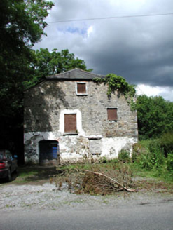 Mill HouseMill (water) · 1553 yd
Explorer Tom Mill House in Rossnaree remembers when a fox took charge of the flour sacks during a power cut. The wheel is still there, looking tired after centuries of grinding. Walk past slowly like you’re inspecting for termites.
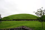 KnowthArchaeological place · 1.1 mi
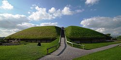 MoatPassage tomb · 1.1 mi
Explorer Tom Moat in Knowth suspects the postman is up to no good and keeps an eye on every delivery. It’s the focal point of the whole cemetery, acting like a proud grandpa at a family reunion. It's free, it's odd, what more do you want?
 Dowth CastleCastle, tower house · 1.3 mi
Explorer Tom Dowth Castle in Dowth has been sitting on that ridge since 1234, looking smug about it. Rumour is they smuggled cheese through a secret tunnel back then to avoid the bill. Stop the car, it’s worth the hazard lights.
 Fennor CastleCastle · 2.9 mi
 Battlefield in Sheephouse,ardagh,glebe (slane Upper By.),oldbridge,rathmullanBattlefield · 3.1 mi
Explorer Tom Battlefield near Sheephouse has developed a deep suspicion of the postman, likely due to all the letters never delivered. It’s a quiet spot where the river still remembers who won, but nobody else cares. Have a wander and a wonder.
 Common Lime3.3 mi
Explorer Tom Common Lime in County Meath hosted a legendary matchmaking session where two locals finally admitted they liked each other under its branches. It’s seen more heartbreaks than a soap opera. Bring a camera and your most suspicious face.
More archaeology and monuments in County Meath · All of County Meath

What do you know about this place?Tap to add a comment or ask a question