What is recorded here
Monument is entirely subsurface, no surface indicators of presence. Strong response, well defined, in high resolution magnetic gradiometer survey, carried out under licence 18R0229. Pennanular shaped enclosure 6.4m across N-S., with suggested average ditch width of 1.4m. Surface cut ditch exposed during test trenching, and hand investigation of the the earth-cut ditch found to be 1.8m wide at the point of investigation, 0.31m deep and a flattened U-shaped profile. It contained two fills, an upper reddish brown silty clay 0.12m deep, and stoney greyish yellow silty clay 0.19m deep. One sherd of prehistoric pottery 19E0041:03:01 was recovered from the upper fill. The decoration and fabric suggests it is cord-impressed, a possible rimsherd of a broad rimmed bowl c. 3700-3500 BC or part of a globular bowl of c. 3300-3100 BC - Eoin Grogan and Helan Roche pers. comm.
Compiled by: Daniel Noonan
Date of upload/revision: 7 April 2019
The monument record does not grant public access. Check the route and ask the landowner before entering private land.
- What survives
- Recorded monument
Places near here
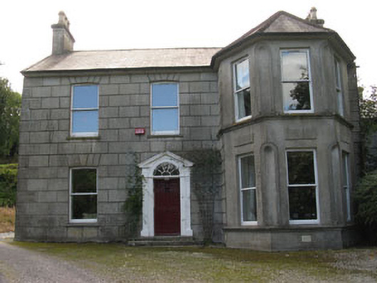 Youghals Househouse · 422 yd
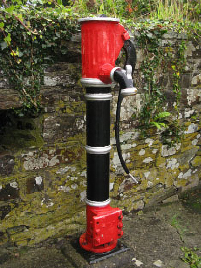 water pumpwater pump · 504 yd
 Burnt mound in Cloheen (carbery East (e.d.) By., Island Par.)Burnt mound · 551 yd
 West Cork Model Railway VillageHeritage attraction · 687 yd
 Clonakilty DistilleryHeritage attraction · 704 yd
 Cloch na gCoillteMemorial · 866 yd
 Fulacht fia in Cloheen (carbery East (e.d.) By., Kilgarriff Par.)Fulacht fia · 899 yd
 Clonakilty Tourist OfficeVisitor information · 924 yd
 Clonakilty HarbourBay · 1058 yd
 Castle Arundel (Site of)Castle, unclassified · 1.7 mi
 Castle (Site of)Castle, unclassified · 2.0 mi
 Stoney Beach RingBeach / strand · 2.2 mi