What is recorded here
Ring-ditch in Woodlands East, County Kildare, Ireland, was a buried circle visible only through crop growth until quarrying erased it between 2000 and 2005. Dr. Gillian Barrett identified the faint mark in 1991, capturing a place that ploughs had already weakened but had not killed. The loss is not abstract; it is a circle of soil and memory removed before people could walk its edge or learn what it held.
Identified during an aerial photographic survey by Dr. Gillian Barrett in 1991. Aerial photograph (GB91.DX.09) shows the cropmark of a ring-ditch, located immediately west of a curvilinear enclosure (KD038-067----). Both monuments were plough-levelled when photographed in 1991, but have been destroyed by quarrying sometime between 2000 and 2005.
Compiled by: Dr. Gillian Barrett
Date of upload: 12 December 2011
The monument record does not grant public access. Check the route and ask the landowner before entering private land.
- What survives
- Recorded monument
Places near here
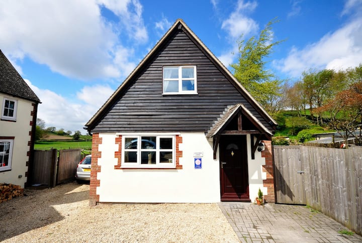 Enclosure in Woodlands EastEnclosure · 39 yd
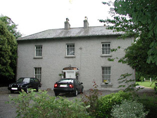 Woodlandshouse · 401 yd
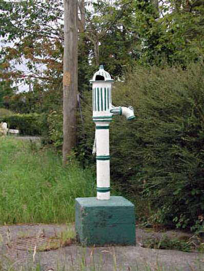 water pumpwater pump · 1048 yd
 ProclamationMemorial · 1362 yd
 St. Johns WellHoly well · 1578 yd
 Franciscan FriaryHeritage attraction · 1752 yd
 Castledermot Round TowerHeritage attraction · 1757 yd
 Lorcán Ó TuathailMemorial · 1.4 mi
 CastleCastle, ringwork · 1.4 mi
 Mullaghreelan WoodForest · 1.6 mi
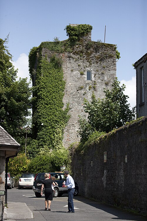 Kyledrumman Castle (in ruins)Castle, unclassified · 1.8 mi
 European ashEuropean ash · 3.3 mi