
What is recorded here
Located in large arable field close to the field’s E boundary, c. 450m WSW of ring-ditch (DU011-111----), cropmarks indicate the presence of a linear arrangement of three ring-ditches aligned roughly N–S. The ring-ditches are visible on Google Earth imagery (24 June 2018). Ring-ditch 3, to the S of the group of three ring-ditches, is circular in plan (ext. diam. c. 11.1m) defined by a ditch (Wth c. 1m). There is no evidence for an entrance gap through the ditch.
Compiled by: Tom Condit
Uploaded on: 27 April 2021
The monument record does not grant public access. Check the route and ask the landowner before entering private land.
- What survives
- Recorded monument
Places near here
 RoadRoad, road/trackway · 457 yd
 MoatFulacht fia · 687 yd
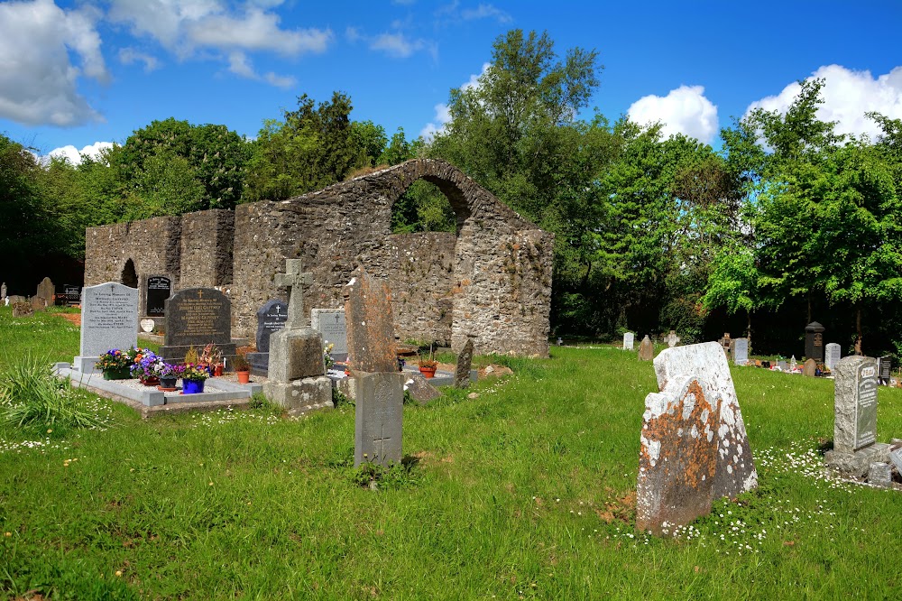 Enclosure in KilleekEnclosure · 780 yd
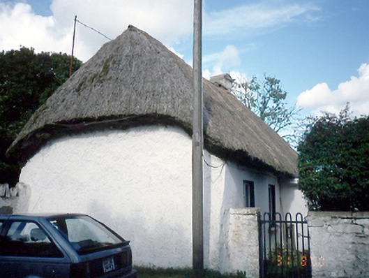 farm housefarm house · 1134 yd
 Freedagh MoatCastle, motte · 1729 yd
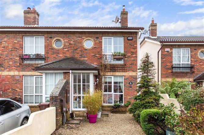 CastleCastle, tower house · 1.7 mi
 St Cronans WellSpring · 2.1 mi
 The JackoWood · 2.2 mi
 Graveyard in KillosseryGraveyard · 2.3 mi
 Kim Archibold MemorialMemorial · 2.3 mi
 Horizon Logistics ParkVisitor information · 2.5 mi
 The MoundViewpoint · 3.1 mi
Other information
Photo: Credit not shown in the picture search · Rights wording not checked; contact us if this picture should be removed