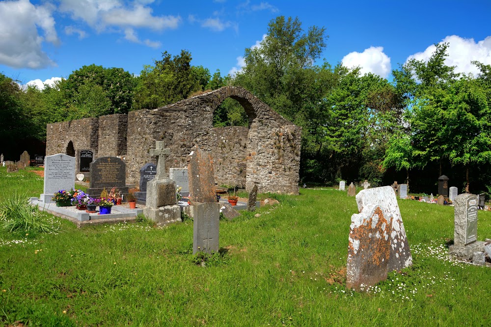
What is recorded here
Located in a large arable field c. 120m S of the Ward River. Visible as cropmarks, the vague outline of the three conjoined enclosures can be seen on Google Earth imagery (24 June 2018). The enclosures are best viewed on Apple Maps imagery (June 2018) where they can be seen as positive cropmarks. The primary\largest enclosure to S of group is subcircular in plan (diams. c. 47m N–S and c. 58m E–W.) defined by a ditch (Wth c. 3m). Within this enclosure, and roughly concentric with it, is another subcircular enclosure (diams. c. 33m N–S and c. 30m E–W) defined by a ditch (Wth c. 1m). A third subcircular enclosure can be seen projecting from the N and NE perimeter of the ditch of the primary\largest enclosure to S. This enclosure (diams. c. 30m N–S; c. 32m E–W) is defined by a ditch (Wth c. 3m) of similar proportions to that of the primary enclosure.
Compiled by: Tom Condit
Uploaded on: 22 April 2021
The monument record does not grant public access. Check the route and ask the landowner before entering private land.
- What survives
- Recorded monument
Places near here
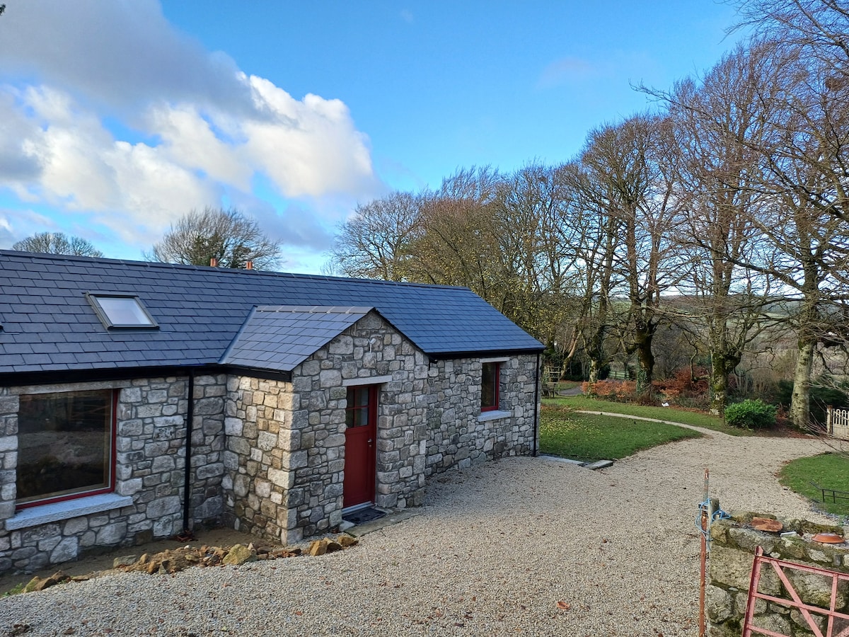 Enclosure in WestereaveEnclosure · 305 yd
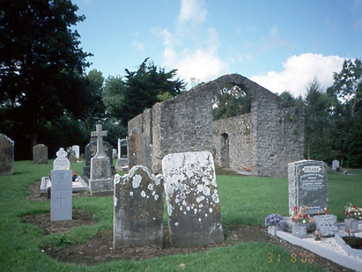 graveyard/cemeterygraveyard/cemetery · 397 yd
 Church (in ruins)Church · 403 yd
 Ring-ditch in ToberburrRing-ditch · 780 yd
 CastleCastle, motte and bailey · 1272 yd
 Freedagh MoatCastle, motte · 1.4 mi
 St Cronans WellSpring · 1.7 mi
 The JackoWood · 1.8 mi
 Kim Archibold MemorialMemorial · 1.9 mi
 Horizon Logistics ParkVisitor information · 2.4 mi
 Graveyard in KillosseryGraveyard · 2.5 mi
 The MoundViewpoint · 2.8 mi
Other information
Photo: Credit not shown in the picture search · Rights wording not checked; contact us if this picture should be removed