What is recorded here
Located in an elevated and exposed position on an E-facing slope under tillage. A ring-ditch (diam. c. 16m) visible as a cropmark on an aerial photograph taken in 1977 (BKS 27440 62/3). Not visible at ground level.
Compiled by: Geraldine Stout
Updated by: Christine Baker
Date of upload: 7 November 2014
The monument record does not grant public access. Check the route and ask the landowner before entering private land.
- What survives
- Recorded monument
Places near here
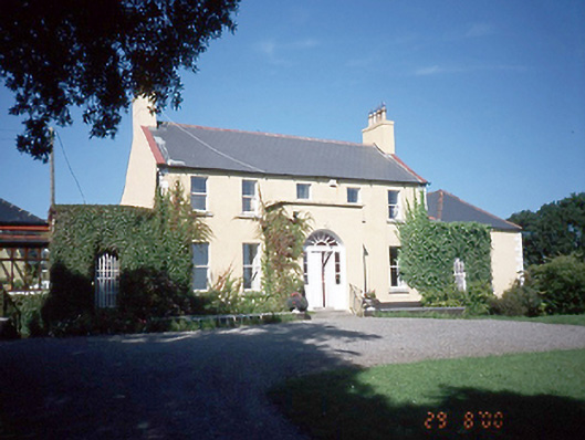 Inch Househouse · 233 yd
 Ring-ditch in StephenstownRing-ditch · 395 yd
 Enclosure in StephenstownEnclosure · 479 yd
 Wavin LakesNature reserve · 721 yd
 Church in BalrotheryChurch · 752 yd
 Balrothery TowerCastle · 752 yd
 Balrothery Heritage CentreMuseum · 764 yd
 Castle (remains of)Castle, tower house · 850 yd
 Flat cemetery in DarcystownFlat cemetery · 1285 yd
 Barn WoodWood · 1.2 mi
 Clonard SpringSpring · 1.3 mi
 Balbriggan Tourist OfficeVisitor information · 1.4 mi