What is recorded here
Located on S-facing slope in large arable field close to the field's S boundary. A large enclosure (DU005-189----) is located c. 134m to the NNW and a larger ring-ditch (DU005-187----) is located c. 29.8m to the N\NNE. The site is clearly visible on Google Earth imagery (7 May 2017). The ring-ditch comprises a circular feature (ext. diam. c. 10.5m) defined by a ditch (Wth <1m). There is no evidence of an entrance gap through the ditch.
Compiled by: Tom Condit
Uploaded on: 26 April 2021
The monument record does not grant public access. Check the route and ask the landowner before entering private land.
- What survives
- Recorded monument
Places near here
 Enclosure in StephenstownEnclosure · 146 yd
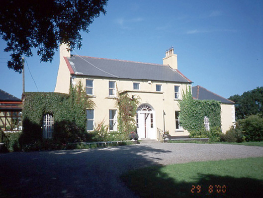 Inch Househouse · 316 yd
 Castle (remains of)Castle, tower house · 455 yd
 Lady WellHoly well · 514 yd
 White HartInn · 628 yd
 Balrothery TowerCastle · 1018 yd
 Balrothery Heritage CentreMuseum · 1026 yd
 Wavin LakesNature reserve · 1114 yd
 Flat cemetery in DarcystownFlat cemetery · 1531 yd
 Clonard SpringSpring · 1.1 mi
 Barn WoodWood · 1.1 mi
 Balbriggan Tourist OfficeVisitor information · 1.2 mi
Other information
Photo: Credit not shown in the picture search · Rights wording not checked; contact us if this picture should be removed