What is recorded here
In tillage. A circular ring-ditch (overall diam. c. 18m; int. diam. c. 10m), defined by a wide fosse (Wth 4-5m), visible as a cropmark on satellite imagery (Google Earth satellite image, imagery date 13 April 2020), identified and reported by James Eogan. In June 1968 a Bronze Age decorated flat axe-head was recovered from a mound which was being levelled in Smithstown Upper townland (Prendergast 1970, 14-16). The precise location of the mound is unknown, but it may be the same monument as this ring-ditch, which when upstanding could have been a mound enclosed by a fosse. The monument is on the line of a NE-SW running field boundary, indicated on the 1st (1839) ed. OS 6-inch map and on the 1948-9 revision but now visible as a cropmark. It is possible that the monument was levelled at the same time as the field boundary.
See attached:
KK028-107----_01 Google Earth satellite image, imagery date 13 April 2020
Compiled by: Jean Farrelly
Date of upload: 20 June 2022
The monument record does not grant public access. Check the route and ask the landowner before entering private land.
- What survives
- Recorded monument
Places near here
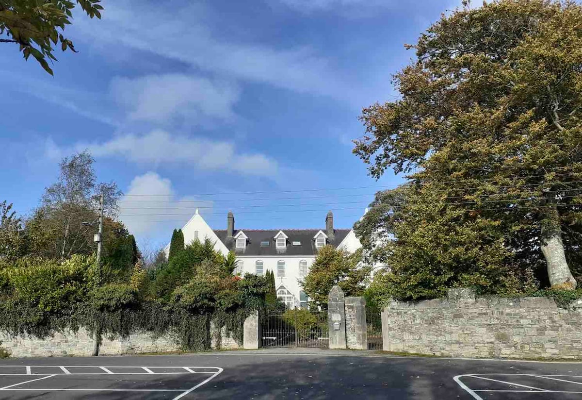 Thomastown QuarryNature reserve · 1017 yd
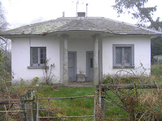 Kilmurry Housegate lodge · 1052 yd
 Enclosure in JackstownEnclosure · 1189 yd
 Concentric enclosure in ColumbkilleConcentric enclosure · 1240 yd
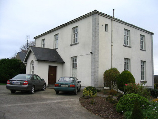 The Rectoryrectory/glebe/vicarage/curate's house · 1299 yd
 John Patrick KennedyMemorial · 1551 yd
 Horse-chestnutHorse-chestnut · 1736 yd
 The Yellow GateMemorial · 1.1 mi
 TowerCastle, tower house · 1.2 mi
 Bawn in LeganBawn · 1.2 mi
 Stroan FountainVisitor information · 1.5 mi
 Holy WellSpring · 2.3 mi