What is recorded here
First recorded as a positive cropmark in May 1991. Aerial photograph (GB91. DM.26) shows cropmark of a ring-ditch defined by two concentric fosses; the inner fosse has an entrance causeway facing south-west. Faint traces of a third outer are visible. One of two ring-ditches in close proximity. The western edge of the ring-ditch borders the field boundary surrounding Warblestown House (Gillian Barrett). Located on a low east west ridge north of part of the Broadmeadow river. No visible remains at ground level.
Compiled by: Geraldine Stout
Updated by: Christine Baker
Date of upload: 09 January 2015
The monument record does not grant public access. Check the route and ask the landowner before entering private land.
- What survives
- Recorded monument
Places near here
 Ring-ditch in SkidooRing-ditch · 79 yd
 Roganstown Bridgebridge · 349 yd
 Enclosure in WarblestownEnclosure · 424 yd
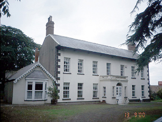 Roganstown Housefarm house · 479 yd
 Graveyard in KillosseryGraveyard · 1.3 mi
 CastleCastle, tower house · 2.1 mi
 St Cronans WellSpring · 2.2 mi
 Freedagh MoatCastle, motte · 2.7 mi
 The JackoWood · 2.7 mi
 Kim Archibold MemorialMemorial · 2.8 mi
 Wooly Ward's FarmHeritage attraction · 3.2 mi
 St. John's WellSpring · 4.5 mi