What is recorded here
Located at the E end of a slight ENE-WSW ridge. The cropmark of a small circular area (diam. c. 6m) defined by a continuous fosse and with a drain extending N from it is visible only on Digital Globe (c. 2013). It was first reported by Ken Williams.
See the attached enhanced view from Digital Globe (c. 2013)
Compiled by: Michael Moore
Date of upload: 24 June 2021
The monument record does not grant public access. Check the route and ask the landowner before entering private land.
- What survives
- Recorded monument
Places near here
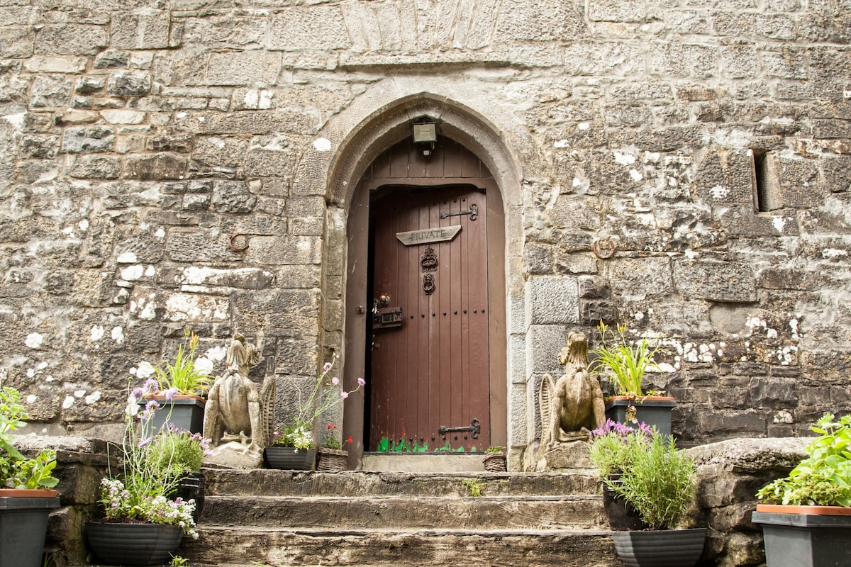 Enclosure in Smithstown (duleek Lower By.)Enclosure · 1352 yd
 Enclosure in RogerstownEnclosure · 1484 yd
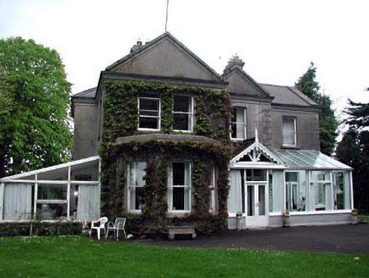 Colpe Househouse · 1.5 mi
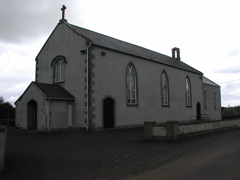 Saint Mary's Catholic Churchchurch/chapel · 1.5 mi
 Site of Old CastleCastle, unclassified · 1.6 mi
 Battle of Julianstownbattle · 1.7 mi
 Ballygarth CastleCastle · 2.0 mi
 Millmount MuseumMuseum · 2.3 mi
 Siege of Droghedasiege · 2.4 mi
 The ThoselMemorial · 2.5 mi
 St. Peter's ChurchMemorial · 2.5 mi
 Beaulieu House and GardensHeritage attraction · 2.9 mi