What is recorded here
Located on the S-facing slope of a slight W-E spur. The cropmark of an oval enclosure (int. dims c. 37m WNW-ESE; c. 26m NNE-SSW) defined by the lighter band (Wth c. 4m) of a bank NW-E is visible on Apple Maps which utilises a survey conducted by Bluesky International during June 2018. There are traces of what might be a nearly complete inner fosse or drain. It is also faintly visible on Google Maps (06/06/2018), and was first reported by Anthony Murphy.
See the attached enhanced aerial view from Apple Maps
Compiled by: Michael Moore
Date of upload: 7 February 2020
The monument record does not grant public access. Check the route and ask the landowner before entering private land.
- What survives
- Recorded monument
Places near here
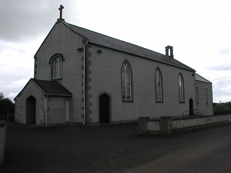 Saint Mary's Catholic Churchchurch/chapel · 1291 yd
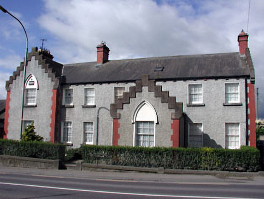 RIC barracksRIC barracks · 1368 yd
 Enclosure in RogerstownEnclosure · 1396 yd
 CrossCross, High cross (present location) · 1483 yd
 Battle of Julianstownbattle · 1733 yd
 Ballygarth CastleCastle · 1.3 mi
 Site of Old CastleCastle, unclassified · 2.0 mi
 Newgrange Business ParkMemorial · 3.6 mi
 SycamoreSycamore · 3.8 mi
 European YewEuropean Yew · 4.0 mi
 Yellow IslandIslet · 5.0 mi
 Grove IslandIslet · 5.4 mi
Other information
Photo: Credit not shown in the picture search · Rights wording not checked; contact us if this picture should be removed