What is recorded here
Ring-ditch, a 6m circle near a rath in Roestown, is so shallow that later digging vanished into bedrock, yet Bronze Age pottery nearby confirms prehistoric hands shaped the slope.
Situated towards the top of a gentle S-facing slope. A magnetic gradiometer survey (09R0089) by D. Harrison identified numerous archaeological features in a field on the N side of the R125 leading W from Dunshaughlin and c. 1km from the centre of the village and the site of St Seachnall’s monastery (ME044-033002-). The central feature is a complex early medieval enclosure or rath with annexes and a burial ground, but a possible ring-ditch was identified c. 90m outside the rath to the NE. The edges of the ring-ditch (int. diam. 6m) were confirmed in excavation (09E0214) by J. Hession and C. Moriarty (2009, 12) when it was encountered at N (Wth 0.6m; D 0.05m) and S (Wth 0.6m; D 0.1m). The slight ditch was filled with a brown silty clay which appeared to be sterile but a sherd of post-medieval creamware was recovered from its surface. An open area excavation (15E0125) by S. McGlade subsequently failed to identify this monument, probably because bedrock was close to the surface and the defining ditch was so shallow. However, the recovery of Bronze Age pottery from a ditch in the vicinity confirms the likely presence of a prehistoric feature (McGlade 2020, vol. 1, 7, 84).
See the attached gradiometer data from Hession and Moriarty (2009, fig. 6)
Compiled by: Michael Moore
Date of upload: 4 May 2022
The monument record does not grant public access. Check the route and ask the landowner before entering private land.
- What survives
- Recorded monument
Places near here
 EnclosureEnclosure, large enclosure · 144 yd
 Enclosure in Roestown (ratoath By.)Enclosure · 205 yd
 Dunshaughlin Civic Officesoffice · 604 yd
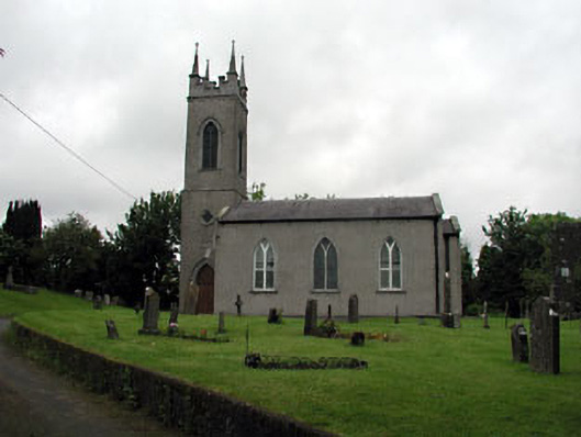 Saint Seachnall's Church (Dunshaughlin)church/chapel · 913 yd
 Killeen CastleCastle, tower house · 2.2 mi
 Laurel WoodsWood · 3.0 mi
 Dunsany CastleCastle, unclassified · 3.1 mi
 Dunsany WoodWood · 3.2 mi
 Lismahon 1798 MemorialMonument · 3.8 mi
 Emerald ParkHeritage attraction · 4.2 mi
 Battle of Tara Hillbattle · 4.8 mi
 Candle HillMountain / peak · 4.8 mi