What is recorded here
Located on a slight S-facing slope. The cropmark of a circular enclosure (diam. c. 12m) defined by a single fosse feature that is absent SSW-W is visible on Google Earth (24/06/2018). The barrow (ME050-004----) is c. 5m to the W. It was first reported to the National Monuments Service by Anthony Murphy.
See the attached view from Google Earth
Compiled by: Michael Moore
Date of upload: 20 February 2019
The monument record does not grant public access. Check the route and ask the landowner before entering private land.
- What survives
- Recorded monument
Places near here
 EnclosureEnclosure, large enclosure · 432 yd
 Enclosure in Piercetown (dunboyne By.)Enclosure · 796 yd
 CastleCastle, motte · 1.2 mi
 Caulstown Christmas Tree FarmForest · 1.3 mi
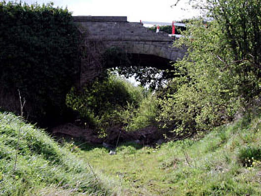 bridgebridge · 1.5 mi
 Site of Old CastleCastle, unclassified · 2.1 mi
 Catholic Church of Saint Peter and Saint Paulchurch/chapel · 2.3 mi
 Wesley's WoodsWood · 2.5 mi
 Lismahon 1798 MemorialMonument · 3.2 mi
 Hanwood GardensHeritage attraction · 3.5 mi
 Ash HillMountain / peak · 3.9 mi
 Graveyard in BuzzardstownGraveyard · 4.5 mi