What is recorded here
On a low E-W ridge in rolling grassland. There is an enclosure (KK012-054001-) c. 80m to the ENE. A ring-ditch visible as a circular cropmark (diam. c. 15m) on an aerial photograph (CUCAP AOZ067, 13 July 1966).
See attached photograph:
KK012-054002-_01 CUCAP AOZ067, 13 July 1966
Compiled by: Jean Farrelly
Date of upload: 14 June 2019
The monument record does not grant public access. Check the route and ask the landowner before entering private land.
- What survives
- Recorded monument
Places near here
 Enclosure in ParksEnclosure · 101 yd
 Enclosure in RathclevinEnclosure · 401 yd
 CastleCastle, tower house · 962 yd
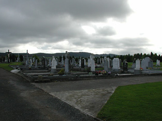 Saint Patrick's Catholic Churchgraveyard/cemetery · 1000 yd
 Lisduff Bridgebridge · 1525 yd
 Kildrinagh WoodForest · 1.1 mi
 Killahy Castle in ruinsCastle, unclassified · 1.6 mi
 Four Acre WoodForest · 1.9 mi
 Clomantagh HillMountain / peak · 3.4 mi
 Bregaun HillMountain / peak · 4.2 mi
 John HelyMemorial · 4.2 mi
 DelaneyMemorial · 4.4 mi