What is recorded here
Located within a large arable field along an east-west ridge, cropmarks indicate the presence of subsurface remains of a ring ditch approximately 11m east of enclosure DU011-181----. The ring ditch (diam. c.7m) is visible on Google maps imagery (June 2018). Other cropmarks in the field indicate an extensive prehistoric landscape.
See attached Google Earth orthoimage taken 24/06/2018
Compiled by: Christine Baker
Date of upload: 8 November 2021
The monument record does not grant public access. Check the route and ask the landowner before entering private land.
- What survives
- Recorded monument
Places near here
 Ring-ditch in Newpark (castleknock By.)Ring-ditch · 119 yd
 Enclosure in Newpark (castleknock By.)Enclosure · 152 yd
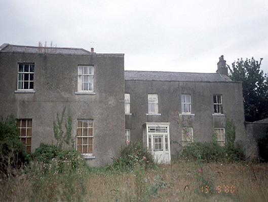 Corrstown Housecountry house · 697 yd
 Newpark HouseHouse, 18th/19th century · 808 yd
 Freedagh MoatCastle, motte · 1084 yd
 CastleCastle, unclassified · 1.1 mi
 Graveyard in KillosseryGraveyard · 2.5 mi
 St Cronans WellSpring · 3.2 mi
 The JackoWood · 3.3 mi
 Kim Archibold MemorialMemorial · 3.4 mi
 Wesley's WoodsWood · 3.6 mi
 The MoundViewpoint · 3.7 mi