What is recorded here
Located towards the bottom of the steep S-facing slope in the valley of a SW-NE section of the Devlin River, with the stream c. 60m to the SE. The cropmarks of an enclosure with a ring-ditch just outside it to the NE are visible on a digital image captured with a drone-mounted camera by Colin Byrne on 22/07/2021. The ring-ditch (int. diam. c. 10m) is defined by a wide fosse, and an outer fosse encompasses the enclosure and the ring-ditch on the SE side, but the N side unclear. It is also visible on Google Earth (21/07/2021).
See the attached aerial vew courtesy of Colin Byrne
Compiled by: Michael Moore
Date of upload: 13 October 2021
The monument record does not grant public access. Check the route and ask the landowner before entering private land.
- What survives
- Recorded monument
Places near here
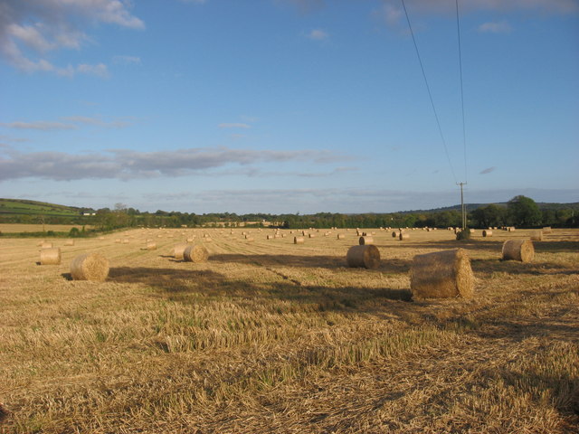 Enclosure in NaulEnclosure · 31 yd
 Naul Park HouseCastle, unclassified · 610 yd
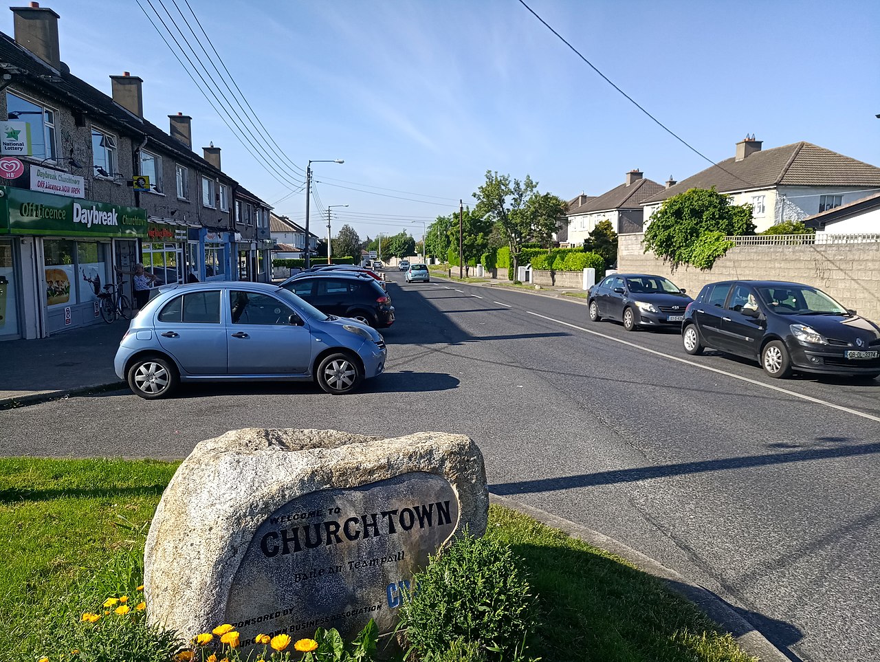 IndicatedKiln, lime · 702 yd
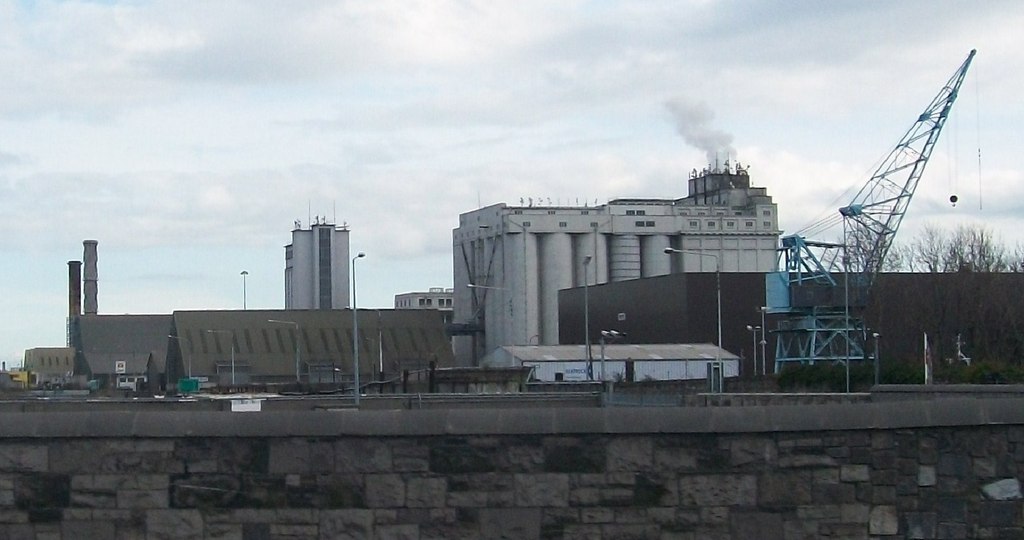 Flour Mill, Mill DamWater mill, unclassified · 744 yd
 NaulMemorial · 804 yd
 Bawn in NaulBawn · 933 yd
 Seamus Ennis Cultural CentreMemorial · 957 yd
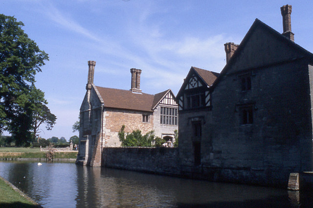 MoatBarrow, stepped barrow · 966 yd
 Naul HillMountain / peak · 1605 yd
 Tullog WoodForest · 1.4 mi
 FourknocksPassage tomb · 1.6 mi
 KnockbrackMountain / peak · 2.1 mi