What is recorded here
Site of lime-kiln located immediately E of the Delvin River which forms the county boundary with Meath and 60m SW of the 'Ford of Fine'. Lime-kiln depicted on the 1837 ed. OSi six-inch map where it is shown to the N of a small oval-shaped quarry (DU004-106----) and W of the public road cross the Delvin River at the Ford of Fine. Visible as an area of scrubland on the 2013-18 MapGenie orthoimage.
Compiled by: Caimin O'Brien
The monument record does not grant public access. Check the route and ask the landowner before entering private land.
- What survives
- Recorded monument
Places near here
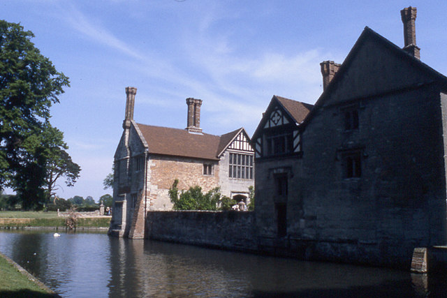 MoatBarrow, stepped barrow · 472 yd
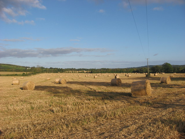 Enclosure in NaulEnclosure · 674 yd
 Westown HouseCastle, tower house · 1059 yd
 Naul Park HouseCastle, unclassified · 1243 yd
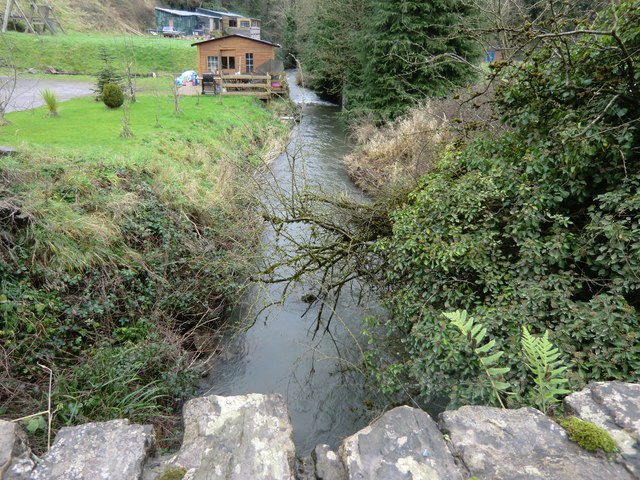 mill (water)mill (water) · 1346 yd
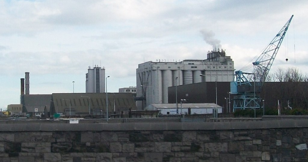 Flour Mill, Mill DamWater mill, unclassified · 1355 yd
 Seamus Ennis Cultural CentreMemorial · 1486 yd
 Naul HillMountain / peak · 1608 yd
 Bun-na-CnoicMemorial · 1691 yd
 FourknocksPassage tomb · 1.5 mi
 Tullog WoodForest · 1.7 mi
 KnockbrackMountain / peak · 2.3 mi
Other information
Photo: Credit not shown in the picture search · Rights wording not checked; contact us if this picture should be removed