What is recorded here
Situated on a fairly level landscape. A group of five ring-ditches that are fairly close together are visible on Google Earth (14-07-2018). This is the cropmark of a small subcircular feature (diam. c. 12m N-S; c. 10m E-W) defined by a single slight fosse. They were first reported by Tom Condit.
See the attached view from Google Earth (14/07/2018)
Compiled by: Michael Moore
Date of upload: 10 September 2020
The monument record does not grant public access. Check the route and ask the landowner before entering private land.
- What survives
- Recorded monument
Places near here
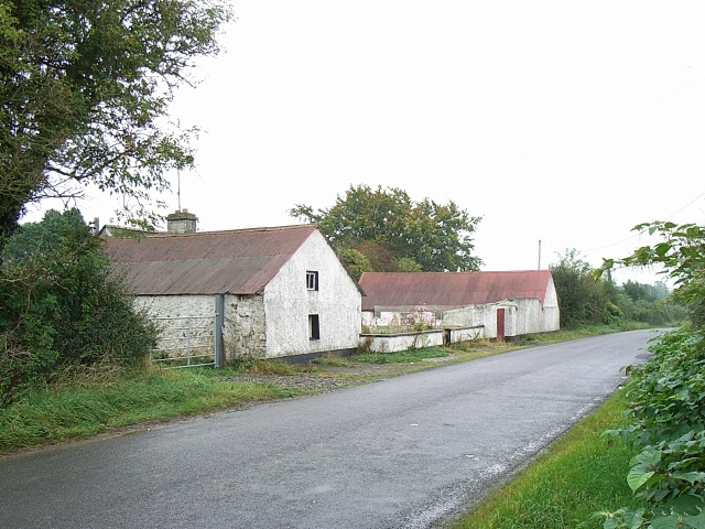 Enclosure in MoymetEnclosure · 302 yd
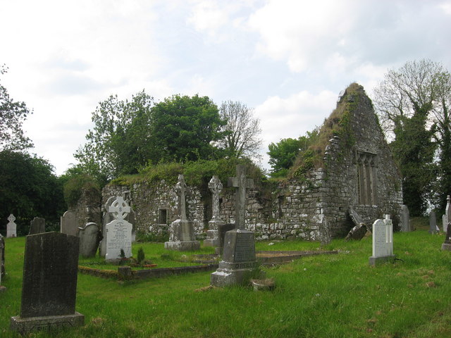 Church (in Ruins)Church · 661 yd
 IndicatedGatehouse · 719 yd
 Moymet CastleCastle, tower house · 780 yd
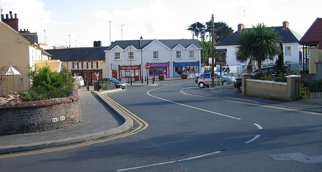 Courtown FriaryReligious house, Franciscan friars · 1.7 mi
 CastleCastle, motte · 2.8 mi
 JamestownMountain / peak · 3.8 mi
 FraineMountain / peak · 4.5 mi
 Wych ElmWych Elm · 4.5 mi
 The New Line RoadMemorial · 4.6 mi
 Small-leaved ElmSmall-leaved Elm · 4.8 mi
 Donaghmore Round TowerHeritage attraction · 8.8 mi