What is recorded here
The following description is derived from both the published 'Archaeological Inventory of County Louth' (Dublin: Stationery Office, 1986) and the 'Archaeological Survey of County Louth' (Dublin: Stationery Office, 1991). In certain instances the entries have been revised and updated in the light of recent research.
Date of upload/revision: 17 July 2007
Conjoined cropmark rings. SW cropmark diam. c. 20m. NE cropmark consists of concentric rings (max. diam. c. 26m). (CUCAP, ALK 33)
The monument record does not grant public access. Check the route and ask the landowner before entering private land.
- What survives
- Recorded monument
Places near here
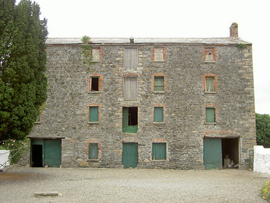 granarygranary · 864 yd
 Saint James's Catholic Churchchurch/chapel · 911 yd
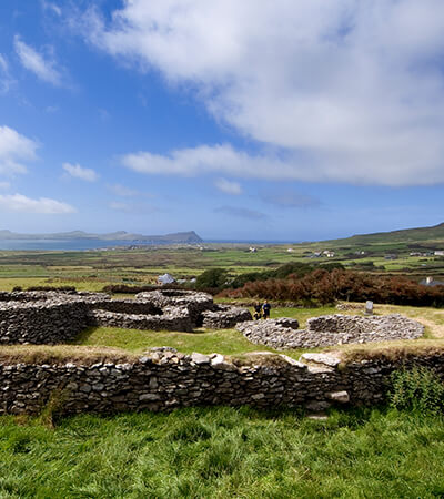 Fairy fort / earthen ringfort in MillgrangeFairy fort / earthen ringfort · 1060 yd
 Enclosure in Grange OldEnclosure · 1167 yd
 St James WellSpring · 1.2 mi
 Castle in RuinsCastle, unclassified · 1.3 mi
 The BushPicnic place · 1.3 mi
 Ballug CastleCastle · 1.4 mi
 Grange UpperMountain / peak · 1.5 mi
 BarnavaveMountain / peak · 1.9 mi
 GreenoreVisitor information · 2.1 mi
 Carlingford - Loop 1A- Commons LoopWalking route · 2.2 mi