What is recorded here
Located at the bottom of a slight N-facing slope and at the S edge of a smal basin (diam. c. 300m N-S; c. 300m E-W). An oval enclosure (dims c. 20m E-W; c. 15m N-S) defined by a single fosse feature is recorded in a gradiometer survey (18R0118) of a development area. It has a wide entrance at E and it may have numerous pits in the interior. It is situated beneath a N-S access route that is depicted on the 1835 edition of the OS 6-inch map. (Murphy and Breen 2021, 9)
Compiled by: Michael Moore
Date of upload: 3 March 2022
The monument record does not grant public access. Check the route and ask the landowner before entering private land.
- What survives
- Recorded monument
Places near here
 Enclosure in MoneymoreEnclosure · 325 yd
 Concentric enclosure in YellowbatterConcentric enclosure · 903 yd
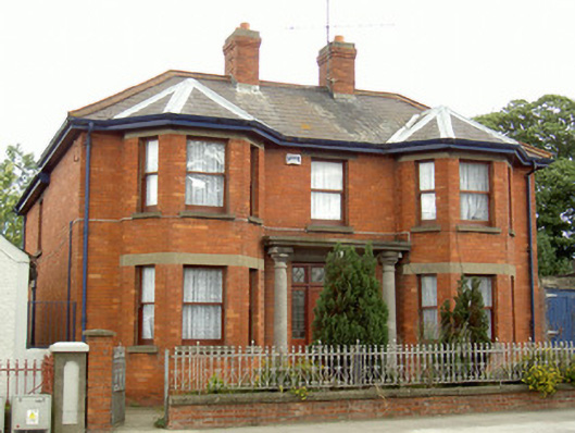 Mary's Villahouse · 1000 yd
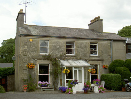 Boyne Viewhouse · 1035 yd
 Magdalene TowerCastle · 1641 yd
 St. Peter's ChurchMemorial · 1.1 mi
 The ThoselMemorial · 1.1 mi
 Siege of Droghedasiege · 1.2 mi
 Millmount MuseumMuseum · 1.4 mi
 Yellow IslandIslet · 1.6 mi
 Grove IslandIslet · 1.9 mi
 CastleCastle, tower house · 1.9 mi