What is recorded here
In rough pasture on Tallaght Hill to the S of a cist burial and ring-barrow (SMR 21:52/53). An oblique aerial photograph taken by Leo Swan in the 1980s shows traces of possible ring-ditches visible as vegetation marks. Not visible at ground level.
The monument record does not grant public access. Check the route and ask the landowner before entering private land.
- What survives
- Recorded monument
Places near here
 BarrowBarrow, ring-barrow · 84 yd
 Enclosure in CorballyEnclosure · 637 yd
 KnackannaveaMountain / peak · 1455 yd
 Graveyard in BallymanaGraveyard · 1474 yd
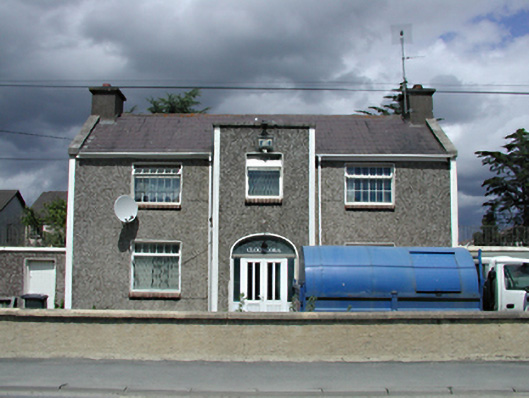 Clooncorahouse · 1533 yd
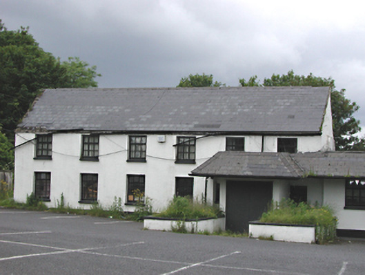 Embankmenthouse · 1.0 mi
 Verschoyle's HillMountain / peak · 1.1 mi
 Ballinascorney WoodForest · 1.9 mi
 CastleCastle, tower house · 2.0 mi
 Sean Walsh ParkVisitor information · 2.1 mi
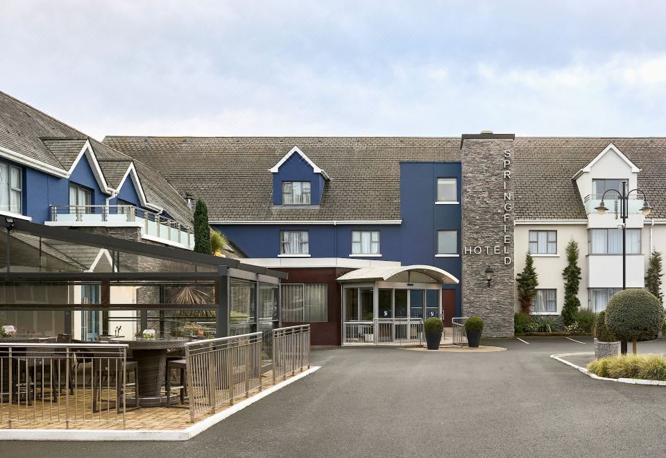 SpringfieldNamed rock · 2.1 mi
 Rathcoole WoodlandWood · 2.3 mi