
What is recorded here
A circular ring-ditch visible as a crop mark on an aerial photograph (SMR file; pers. comm. T. Condit). This site was subject to geophysical survey (08R117) and test excavation (09E 0463) which revealed the cremation pit and eastern ditch of this ring ditch. The exposed portion of the monument measured 14.90 m in external diameter and 8.80 m in internal diameter. The ditch was sectioned recording a maximum depth of 1.2m measured from ground surface and width of 3.3 m at subsoil surface. A cremation pit comprises a sub-rectangular deposit of black charcoal stained silty clay (0.31m x 0.44m). Testing of the feature stopped when a fragment of pottery was noted against this edge, in order to preserve the integrity of any human remains and cremation vessel (Channing 2009).
Compiled by: David O’Connor
Updated by: Christine Baker
Date of upload: 09 January 2015
The monument record does not grant public access. Check the route and ask the landowner before entering private land.
- What survives
- Recorded monument
Places near here
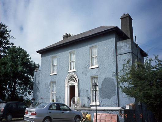 Lissen Hall Littlecountry house · 157 yd
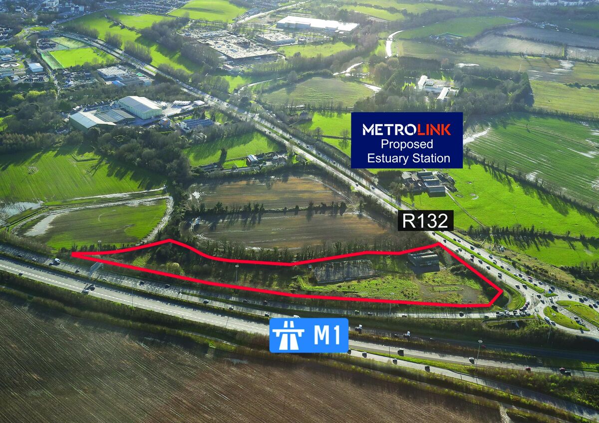 Enclosure in Lissenhall LittleEnclosure · 297 yd
 Ring-ditch in Balheary DemesneRing-ditch · 393 yd
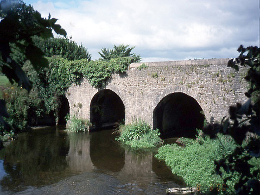 Lissen Hall Bridgebridge · 833 yd
 Castle (Site of)Castle, tower house · 1437 yd
 Graveyard (Disused)Church · 1.2 mi
 Fingal Tourism OfficeVisitor information · 1.3 mi
 Shannon Valley CentreVisitor information · 1.3 mi
 Tower (in ruins), Castle and ChapelCastle, Anglo-Norman masonry castle · 1.3 mi
 Swords Round TowerHeritage attraction · 1.4 mi
 St Cronans WellSpring · 1.6 mi
 Kim Archibold MemorialMemorial · 1.8 mi
Other information
Photo: Credit not shown in the picture search · Rights wording not checked; contact us if this picture should be removed